
1986 Map of Wallum
USGS Topo · Published 1986About this map
Wallum anchors the southwestern corner of this Golden Valley County landscape, situated where the high plains begin to break into complex coulees and drainage networks. The geography is defined by the winding course of Swimming Woman Creek, which cuts southward through the center of the sheet, and the broader valley of Careless Creek near the southern boundary. These waterways, along with the eastern Alkali Creek, represent the essential water sources for cattle and agriculture in this semi-arid region. A solitary Gravel Pit and scattered infrastructure like a Spring and Well point to the modest industrial and survival footprints left by ranchers and road builders. This mid-1980s provisional study records the township and range lines that structured Montana's early settlement, capturing a remote terrain where human activity remained sparse and tied closely to the seasonal flow of its creek beds.
Find a feature on this map
9 named features on this map. Tap any name to fly to it.
Don’t see what you’re looking for? This feature index may not catch every label — zoom into the map to look around manually.
Map Details
Editions of this 1986 Wallum Map
This is the sole edition of this map. No revisions or reprints were ever made.
Other maps of this area

1889 · Big Snowy Mountain
USGS Topo · 1:250,000

1893 · Big Snowy Mountain
USGS Topo · 1:250,000

1954 · Roundup
USGS Topo · 1:250,000

1958 · Roundup
USGS Topo · 1:250,000

1986 · Ryegate West
USGS Topo · 1:24,000
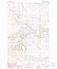
1986 · Ryegate East
USGS Topo · 1:24,000

1986 · Halbert Creek South
USGS Topo · 1:24,000
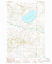
1986 · Deadmans Basin Reservoir
USGS Topo · 1:24,000

1986 · Halbert Creek North
USGS Topo · 1:24,000

1986 · Cushman NW
USGS Topo · 1:24,000