
1986 Map of Cushman NW
USGS Topo · Published 1986About this map
Womans Pocket dominates this mid-1980s landscape in Golden Valley County, where the high Montana plains are defined by intermittent water sources and dramatic topographical depressions. The terrain is marked by a network of seasonal drainages including Currant Creek and Alkali Creek, both carving through the northern and western reaches of the quadrangle. Sparse but vital water resources appear as scattered Springs and a large Dry Lake bed, illustrating the arid conditions of this ranching region. The presence of a prominent Pipeline and several marked Well locations across the southern portion of Pocket suggests the area's integration into larger energy or livestock infrastructure, typical of the rural development patterns in this part of the state during the late 20th century.
Find a feature on this map
11 named features on this map. Tap any name to fly to it.
Don’t see what you’re looking for? This feature index may not catch every label — zoom into the map to look around manually.
Map Details
Editions of this 1986 Cushman NW Map
This is the sole edition of this map. No revisions or reprints were ever made.
Other maps of this area

1889 · Big Snowy Mountain
USGS Topo · 1:250,000

1893 · Big Snowy Mountain
USGS Topo · 1:250,000

1954 · Roundup
USGS Topo · 1:250,000

1958 · Roundup
USGS Topo · 1:250,000

1986 · Ryegate West
USGS Topo · 1:24,000
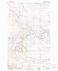
1986 · Ryegate East
USGS Topo · 1:24,000

1986 · Wallum
USGS Topo · 1:24,000
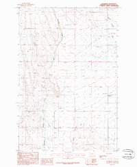
1986 · Rothiemay
USGS Topo · 1:24,000
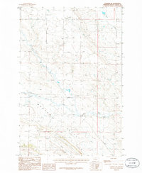
1986 · Cushman NE
USGS Topo · 1:24,000
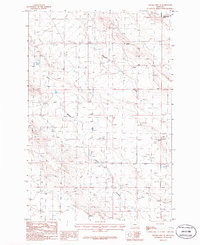
1986 · Sahara Hill SE
USGS Topo · 1:24,000