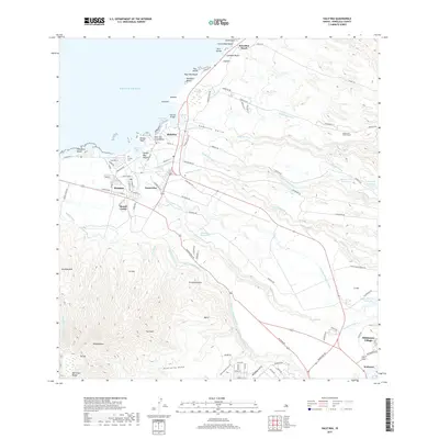
2017 Map of Haleiwa
USGS Topo · Published 2017About this map
Hale'iwa and the surrounding North Shore of O'ahu are characterized by a sophisticated network of irrigation infrastructure and coastal settlements. The landscape transitions from the surfing breaks at Laniakea Beach and Papa'iloa Beach to an upland interior dominated by water management systems like the Kamananui Ditch and the Kemoo Ditch Tunnel. These features, alongside the Upper Helemano Reservoir, trace the historic reliance on diverted water for local agriculture and plantation operations.
Find a feature on this map
104 named features on this map. Tap any name to fly to it.
Don’t see what you’re looking for? This feature index may not catch every label — zoom into the map to look around manually.
Map Details
Editions of this 2017 Haleiwa Map
This is the sole edition of this map. No revisions or reprints were ever made.
Other maps of this area

1952 · Waimea
USGS Topo · 1:24,000

1953 · Haleiwa
USGS Topo · 1:24,000

1953 · Schofield Barracks
USGS Topo · 1:24,000

1953 · Hauula
USGS Topo · 1:24,000

1954 · Oahu
USGS Topo · 1:250,000

1954 · Waianae
USGS Topo · 1:24,000

1954 · Kahuku
USGS Topo · 1:24,000

1954 · Kaena
USGS Topo · 1:24,000

1954 · Waipahu
USGS Topo · 1:24,000

1959 · Waipahu
USGS Topo · 1:24,000