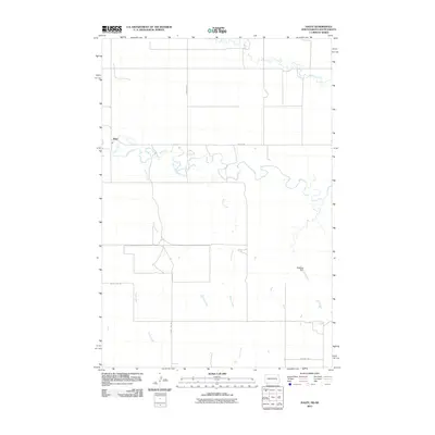
2011 Map of Haley
USGS Topo · Published 2011About this map
The settlement of Haley serves as the focal point for this rural landscape where the North Dakota and South Dakota borderlands meet. Situated along the meandering course of the North Fork Grand River, this area is defined by its drainages, including the prominent Lewis Creek and Teeter Creek which feed into the river system. The landscape transition is marked by the presence of Washout Dam, a functional landmark in a region where water management is vital for the local ranching and agricultural economy.
Find a feature on this map
11 named features on this map. Tap any name to fly to it.
Don’t see what you’re looking for? This feature index may not catch every label — zoom into the map to look around manually.
Map Details
Editions of this 2011 Haley Map
This is the sole edition of this map. No revisions or reprints were ever made.
Other maps of this area

1935 · Reva
USGS Topo · 1:125,000

1953 · Dickinson
USGS Topo · 1:250,000

1954 · Lemmon
USGS Topo · 1:250,000

1957 · Dickinson
USGS Topo · 1:250,000

1957 · Lemmon
USGS Topo · 1:250,000

1968 · Ralph SW
USGS Topo · 1:24,000

1968 · Haley
USGS Topo · 1:24,000

1968 · Bowman-Haley Dam
USGS Topo · 1:24,000

1968 · Ralph
USGS Topo · 1:24,000

1969 · Gascoyne
USGS Topo · 1:24,000