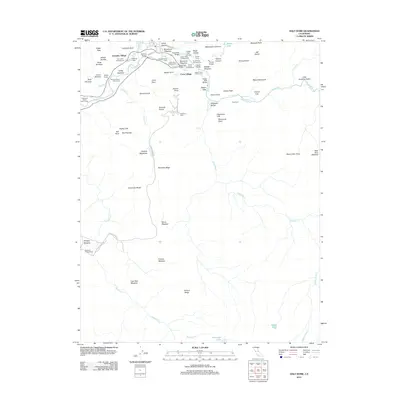
2012 Map of Half Dome
USGS Topo · Published 2012About this map
Curry Village and Yosemite Village serve as the primary hubs of human activity along the Merced River, situated within a valley defined by some of the most recognizable granite formations in the world. This modern survey details the intricate network of infrastructure that supports visitors, including the Stoneman Bridge, Ahwahnee Bridge, and several designated campgrounds like Lower Pines Campground and North Pines Campground. The landscape transitions from these valley floor settlements to the high elevations of Half Dome and Sentinel Dome.
Find a feature on this map
89 named features on this map. Tap any name to fly to it.
Don’t see what you’re looking for? This feature index may not catch every label — zoom into the map to look around manually.
Map Details
Editions of this 2012 Half Dome Map
This is the sole edition of this map. No revisions or reprints were ever made.
Other maps of this area

1897 · Yosemite
USGS Topo · 1:125,000

1900 · Yosemite
USGS Topo · 1:125,000

1901 · Mt. Lyell
USGS Topo · 1:125,000

1903 · Yosemite
USGS Topo · 1:125,000

1909 · Yosemite
USGS Topo · 1:125,000

1947 · Mariposa
USGS Topo · 1:250,000

1948 · Mariposa
USGS Topo · 1:250,000

1953 · Merced Peak
USGS Topo · 1:62,500

1956 · Hetch Hetchy Reservoir
USGS Topo · 1:62,500

1956 · Tuolumne Meadows
USGS Topo · 1:62,500