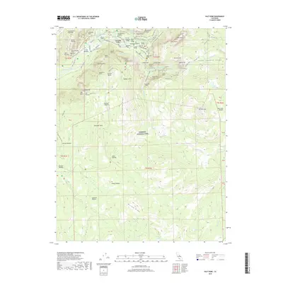
2018 Map of Half Dome
USGS Topo · Published 2018About this map
Yosemite National Park is defined here by the dramatic verticality of its most famous landmarks, where the Merced River floor meets the granite heights of Glacier Point and Sentinel Rock. This survey documents the concentrated infrastructure of Yosemite Village and the historic Ahwahnee, connected by a network of paths including the Old Bridle Path and Four Mile Trail. The high-elevation hydrology is mapped in detail, showing the paths of Tenaya Creek and Illilouette Creek as they drop into the valley via Vernal Fall and Nevada Fall. Further south, the landscape shifts toward the high sierra backcountry, marked by significant meadows like Pohono Meadow and Mono Meadow, and the rising elevations of Horizon Ridge. The map illustrates the complex intersection of natural features and park development, tracing the precise routes of the John Muir Trail and Mist Trail as they navigate the steep terrain around Liberty Cap and Mount Broderick.
Find a feature on this map
89 named features on this map. Tap any name to fly to it.
Don’t see what you’re looking for? This feature index may not catch every label — zoom into the map to look around manually.
Map Details
Editions of this 2018 Half Dome Map
This is the sole edition of this map. No revisions or reprints were ever made.
Other maps of this area

1897 · Yosemite
USGS Topo · 1:125,000

1900 · Yosemite
USGS Topo · 1:125,000

1901 · Mt. Lyell
USGS Topo · 1:125,000

1903 · Yosemite
USGS Topo · 1:125,000

1909 · Yosemite
USGS Topo · 1:125,000

1947 · Mariposa
USGS Topo · 1:250,000

1948 · Mariposa
USGS Topo · 1:250,000

1953 · Merced Peak
USGS Topo · 1:62,500

1956 · Hetch Hetchy Reservoir
USGS Topo · 1:62,500

1956 · Tuolumne Meadows
USGS Topo · 1:62,500