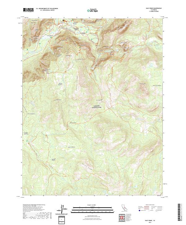
2021 Map of Half Dome
USGS Topo · Published 2021About this map
Yosemite National Park is centered on the dramatic verticality of the Sierra Nevada, where high-altitude peaks meet the floor of the Yosemite Valley. This modern survey highlights a complex network of established footpaths such as the John Muir Trl and Mist Trl, which navigate the steep granite interfaces of the Merced Wild and Scenic River corridor. The geography is defined by world-renowned landmarks, from the iconic Half Dome and Sentinel Rock to the massive drop-offs of Yosemite Falls and Nevada Fall. For those tracing local history, the Yosemite Pioneer Cem stands as a rare point of permanent cultural marking amidst the shifting hydrology of Mirror Lake and the open expanses of Stoneman Meadow. The map also captures the high-country landscape south of the main valley, including the quiet waters of Ostrander Lake and Edson Lake near the Horizon Ridge.
Find a feature on this map
87 named features on this map. Tap any name to fly to it.
Don’t see what you’re looking for? This feature index may not catch every label — zoom into the map to look around manually.
Map Details
Editions of this 2021 Half Dome Map
This is the sole edition of this map. No revisions or reprints were ever made.
Other maps of this area

1897 · Yosemite
USGS Topo · 1:125,000

1900 · Yosemite
USGS Topo · 1:125,000

1901 · Mt. Lyell
USGS Topo · 1:125,000

1903 · Yosemite
USGS Topo · 1:125,000

1909 · Yosemite
USGS Topo · 1:125,000

1947 · Mariposa
USGS Topo · 1:250,000

1948 · Mariposa
USGS Topo · 1:250,000

1953 · Merced Peak
USGS Topo · 1:62,500

1956 · Hetch Hetchy Reservoir
USGS Topo · 1:62,500

1956 · Tuolumne Meadows
USGS Topo · 1:62,500