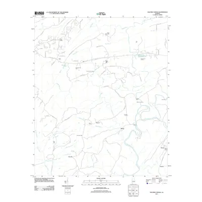
2011 Map of Halfmile Shoals
USGS Topo · Published 2011About this map
The Cahaba River winds through the eastern portion of this landscape, its course marked by historical crossing points like Locke Ford and Booth Ford. This area south of the Birmingham district reflects a transition from rural homesteads to residential development, with established communities such as Hebron and Marvel anchoring the southern reaches. Local family history is deeply embedded in the land, evidenced by numerous burial grounds including Hickman Chapel Cemetery, Higganbotham Cemetery, and McKinney Cemetery.
Find a feature on this map
79 named features on this map. Tap any name to fly to it.
Don’t see what you’re looking for? This feature index may not catch every label — zoom into the map to look around manually.
Map Details
Editions of this 2011 Halfmile Shoals Map
This is the sole edition of this map. No revisions or reprints were ever made.
Other maps of this area

1890 · Bessemer
USGS Topo · 1:125,000

1892 · Bessemer
USGS Topo · 1:125,000

1899 · Brookwood
USGS Topo · 1:125,000

1905 · Bessemer Iron District
USGS Topo · 1:62,500

1907 · Bessemer Special
USGS Topo · 1:62,500

1910 · Montevallo
USGS Topo · 1:62,500

1927 · Adger
USGS Topo · 1:48,000

1932 · Yolande
USGS Topo · 1:62,500

1934 · Blocton
USGS Topo · 1:48,000

1935 · Yolande
USGS Topo · 1:62,500