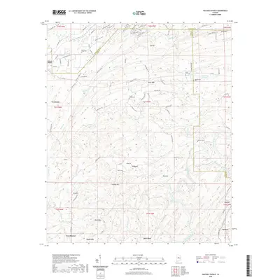
2020 Map of Halfmile Shoals
USGS Topo · Published 2020About this map
Woodstock and West Blocton anchor this survey of the northern Alabama hill country, where the borders of Bibb, Tuscaloosa, Shelby, and Jefferson counties converge. The landscape is defined by the winding course of the Cahaba River, which features notable river crossings and rapids such as Halfmile Shoals and Lilly Shoals. The rugged terrain of Sand Mtn, Shades Mtn, and Missionary Ridge dictated the placement of early settlements and roads, with smaller communities like Belle Ellen, Marvel, and Hebron appearing in the valleys.
Find a feature on this map
107 named features on this map. Tap any name to fly to it.
Don’t see what you’re looking for? This feature index may not catch every label — zoom into the map to look around manually.
Map Details
Editions of this 2020 Halfmile Shoals Map
This is the sole edition of this map. No revisions or reprints were ever made.
Other maps of this area

1890 · Bessemer
USGS Topo · 1:125,000

1892 · Bessemer
USGS Topo · 1:125,000

1899 · Brookwood
USGS Topo · 1:125,000

1905 · Bessemer Iron District
USGS Topo · 1:62,500

1907 · Bessemer Special
USGS Topo · 1:62,500

1910 · Montevallo
USGS Topo · 1:62,500

1927 · Adger
USGS Topo · 1:48,000

1932 · Yolande
USGS Topo · 1:62,500

1934 · Blocton
USGS Topo · 1:48,000

1935 · Yolande
USGS Topo · 1:62,500