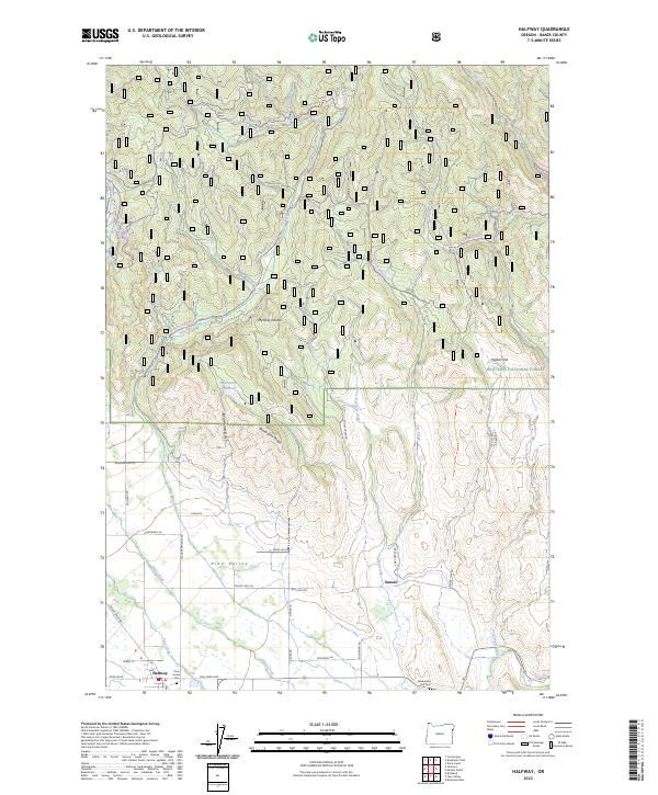
2023 Map of Halfway
USGS Topo · Published 2023About this map
Pine Valley serves as the central pastoral hub of this Baker County landscape, where the settlement of Halfway is anchored by a network of local roads including Slaughterhouse Rd and Fish Lake Rd. The transition from the valley floor to the timbered heights of the Whitman National Forest is marked by water management and natural drainage patterns, notably at the Bearwallow Reservoir and the descent of Clear Creek and East Pine Creek. Genealogists and local historians will find the southern portion of the map particularly significant, as it identifies the Hill Cem and Rosenberg markers near the junction of Pine Creek Hwy. The terrain is defined by rugged local landmarks such as Mehlhorn Butte and the narrow passage of Dark Canyon, illustrating the intersection of early mountain transit routes like the Cornucopia Hwy with the established agricultural community of Pine Haven.
Find a feature on this map
49 named features on this map. Tap any name to fly to it.
Don’t see what you’re looking for? This feature index may not catch every label — zoom into the map to look around manually.
Map Details
Editions of this 2023 Halfway Map
This is the sole edition of this map. No revisions or reprints were ever made.
Other maps of this area

1915 · Pine
USGS Topo · 1:125,000

1954 · Cornucopia
USGS Topo · 1:62,500

1955 · Baker
USGS Topo · 1:250,000

1955 · Grangeville
USGS Topo · 1:250,000

1957 · Halfway
USGS Topo · 1:62,500

1957 · Homestead
USGS Topo · 1:62,500

1957 · Copperfield
USGS Topo · 1:62,500

1959 · Baker
USGS Topo · 1:250,000

1959 · Grangeville
USGS Topo · 1:250,000

1980 · McCall
USGS Topo · 1:100,000