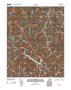
2010 Map of Halifax
USGS Topo · Published 2010About this map
Halifax serves as the focal point of this Southside Virginia landscape, situated just south of where the Banister River is impounded by the Banister Dam to form Banister Lake. The area reflects a transition from the established county seat and its residential developments like Canterbury Estates and Riverview Heights to the surrounding rural crossroads and family settlements. Several community hubs are evident across the terrain, including Youngers Store, Crystal Hill, and the cluster at McKendree.
Find a feature on this map
72 named features on this map. Tap any name to fly to it.
Don’t see what you’re looking for? This feature index may not catch every label — zoom into the map to look around manually.
Map Details
Editions of this 2010 Halifax Map
This is the sole edition of this map. No revisions or reprints were ever made.
Other maps of this area

1952 · Milton
USGS Topo · 1:62,500

1953 · South Boston
USGS Topo · 1:62,500

1953 · Greensboro
USGS Topo · 1:250,000

1954 · Greensboro
USGS Topo · 1:250,000

1954 · Halifax
USGS Topo · 1:62,500

1954 · Riceville
USGS Topo · 1:62,500

1956 · Milton
USGS Topo · 1:62,500

1957 · South Boston
USGS Topo · 1:62,500

1962 · Greensboro
USGS Topo · 1:250,000

1966 · Greensboro
USGS Topo · 1:250,000