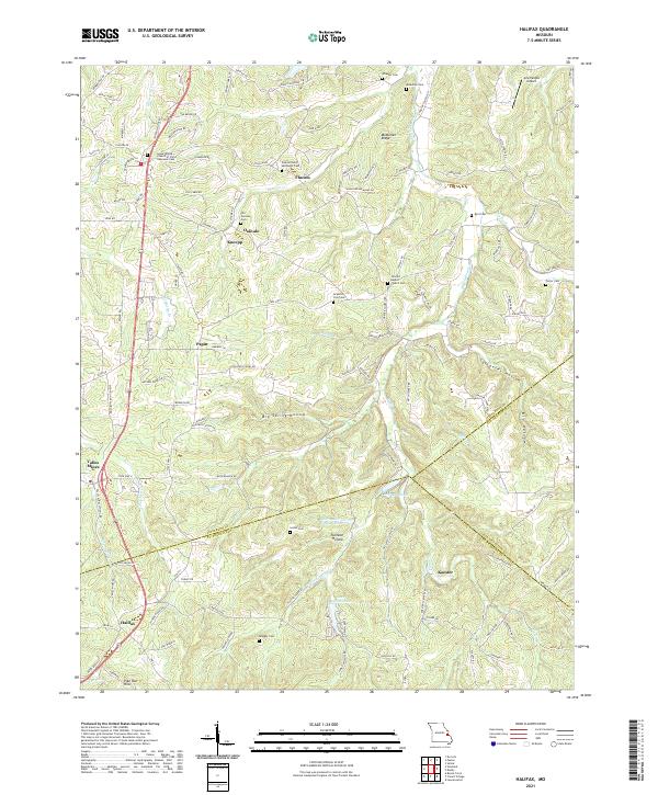
2021 Map of Halifax
USGS Topo · Published 2021About this map
Valles Mines and Halifax anchor this topographic view of the eastern Ozarks borderland, where the headwaters of Joachim Cr and Plattin Creek carve through the landscape. The map captures a high density of rural heritage sites, particularly family and congregational cemeteries like the Old German Cem, Byrd Cem, and the Flucom Dutch Methodist Cem near the settlement of Flucom. These markers of early settlement are scattered among named hollows such as Saltpeter Hollow and Furnace Hollow, suggesting a history of mineral extraction and traditional industry.
Find a feature on this map
112 named features on this map. Tap any name to fly to it.
Don’t see what you’re looking for? This feature index may not catch every label — zoom into the map to look around manually.
Map Details
Editions of this 2021 Halifax Map
This is the sole edition of this map. No revisions or reprints were ever made.
Other maps of this area

1901 · De Soto
USGS Topo · 1:125,000

1904 · Farmington
USGS Topo · 1:62,500

1905 · Bonneterre
USGS Topo · 1:62,500

1906 · Farmington
USGS Topo · 1:62,500

1915 · Crystal City
USGS Topo · 1:62,500

1930 · De Soto NE
USGS Topo · 1:24,000

1931 · De Soto SE
USGS Topo · 1:24,000

1949 · Saint Louis
USGS Topo · 1:250,000

1949 · Rolla
USGS Topo · 1:250,000

1949 · Crystal City
USGS Topo · 1:62,500