2021 Map of Hallam
USGS Topo · Published 2021About this map
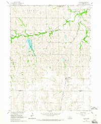
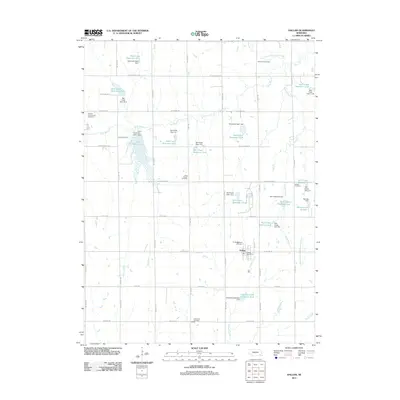
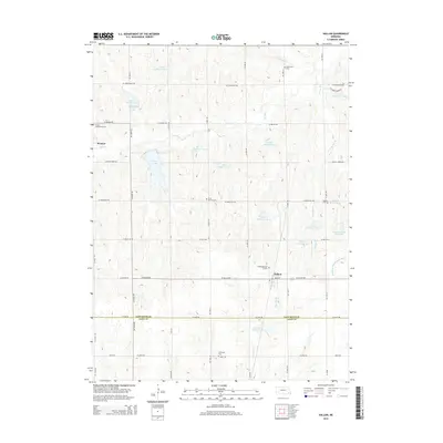
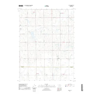
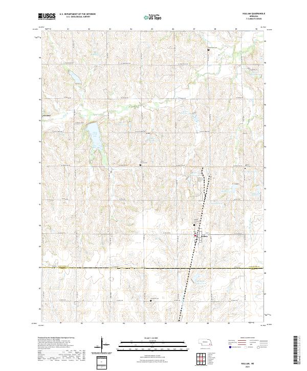
The village of Hallam sits at the center of this rural Nebraska landscape, where the grain-growing plains meet the headwaters of the Middle Br Big Nemaha River. This modern survey reveals a highly managed hydrological network, characterized by numerous flood control structures such as Salt Cr Reservoir 13-A and Salt Cr Reservoir 6-4 that dot the tributaries of Salt Creek. For those tracing family history, the map identifies several local burial grounds including Buhrmann Cem and the Hallam Community Cem. To the northwest, the settlement of Kramer remains a distinct marker on the grid of section roads. The terrain is defined by the drainage divide between the Big Blue and Big Nemaha watersheds, with recreational landmarks like Olive Creek Lake and Meadow Lake Number 1 integrated into the agricultural landscape.
Find a feature on this map
45 named features on this map. Tap any name to fly to it.
Don’t see what you’re looking for? This feature index may not catch every label — zoom into the map to look around manually.
Map Details
Editions of this 2021 Hallam Map
This is the sole edition of this map. No revisions or reprints were ever made.
Historical Maps of Hallam Through Time
5 maps found