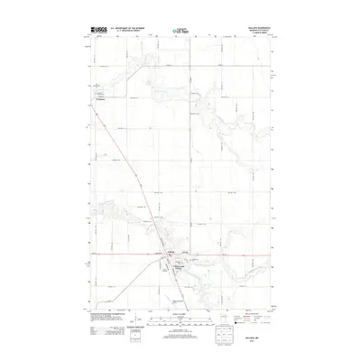
2013 Map of Hallock
USGS Topo · Published 2013About this map
Hallock serves as the focal point of this northern Minnesota landscape, situated at the confluence of several branches of the Two Rivers. The settlement patterns reveal a reliance on the area's water network, with Northcote positioned further north near the N Br Two Rivers and Little Joe River. The map highlights a community well-served by local institutions, featuring numerous burial grounds including Morrison Cem, Oak View Catholic Cem, Swanson Cem, and Greenwood Cem.
Find a feature on this map
53 named features on this map. Tap any name to fly to it.
Don’t see what you’re looking for? This feature index may not catch every label — zoom into the map to look around manually.
Map Details
Editions of this 2013 Hallock Map
This is the sole edition of this map. No revisions or reprints were ever made.
Other maps of this area

1939 · Drayton
USGS Topo · 1:62,500

1939 · Pembina
USGS Topo · 1:62,500

1939 · Kennedy
USGS Topo · 1:62,500

1941 · Kennedy
USGS Topo · 1:62,500

1941 · Drayton
USGS Topo · 1:62,500

1941 · Hallock
USGS Topo · 1:62,500

1941 · Pembina
USGS Topo · 1:62,500

1952 · Thief River Falls
USGS Topo · 1:250,000

1956 · Thief River Falls
USGS Topo · 1:250,000

1957 · Thief River Falls
USGS Topo · 1:250,000