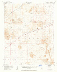
1956 Map of Halloran Spring
USGS Topo · Published 1963About this map
Turquoise Mountain and the surrounding desert peaks dominate this mid-century look at San Bernardino County, where the infrastructure of mining and early highway travel define the landscape. The sheet documents a significant collection of mineral claims, from the Turquoise Mining Area and Yucca Mine in the north to the Great Wanamingo Mine and Telegraph Mine further east. These sites are linked by the desert route of 91 and 466, which passes through small outposts like Yucca Grove and Cree Camp.
Find a feature on this map
38 named features on this map. Tap any name to fly to it.
Don’t see what you’re looking for? This feature index may not catch every label — zoom into the map to look around manually.
Map Details
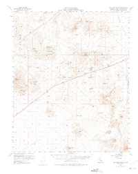
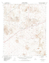
Editions of this 1956 Halloran Spring Map
4 editions found

Other maps of this area

1910 · Ivanpah
USGS Topo · 1:250,000

1912 · Ivanpah
USGS Topo · 1:250,000

1933 · Avawatz Mountains
USGS Topo · 1:250,000

1942 · Ivanpah
USGS Topo · 1:250,000

1947 · Trona
USGS Topo · 1:250,000

1947 · Kingman
USGS Topo · 1:250,000

1948 · Kingman
USGS Topo · 1:250,000

1948 · Trona
USGS Topo · 1:250,000

1953 · Trona
USGS Topo · 1:250,000

1954 · Kingman
USGS Topo · 1:250,000