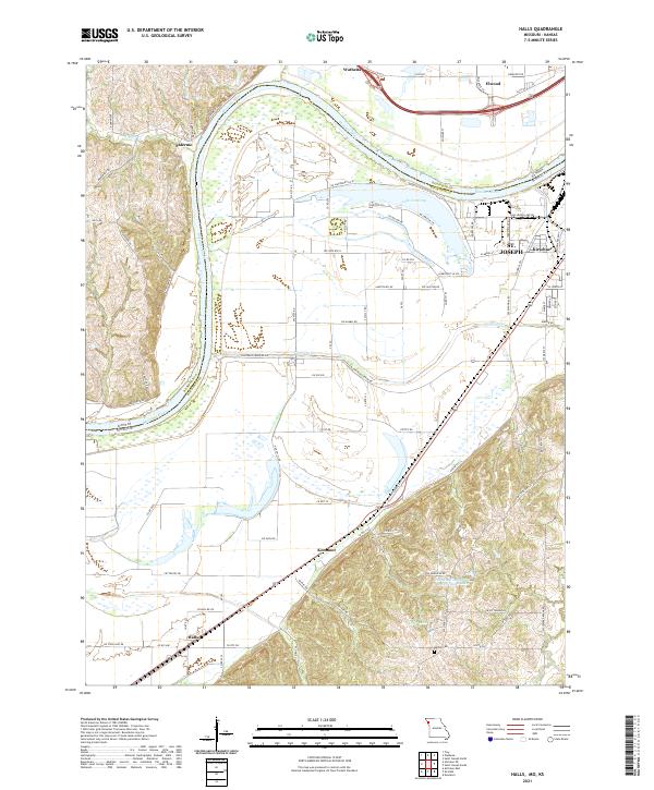
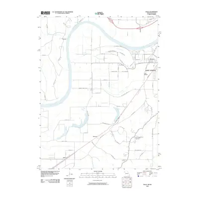
2021 Map of Halls
USGS Topo · Published 2021About this map
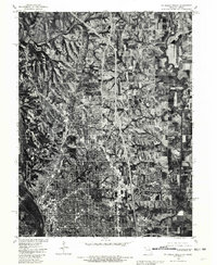
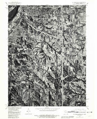
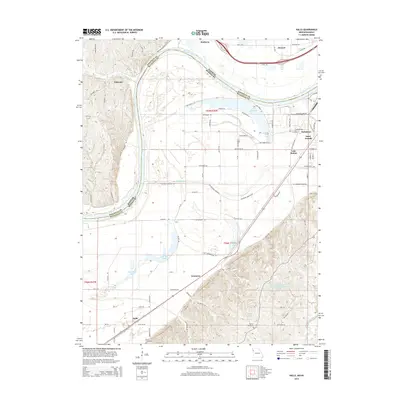
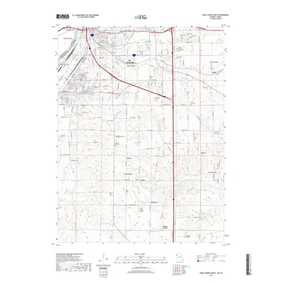
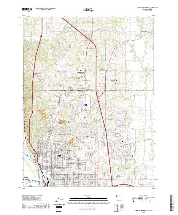
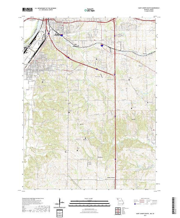
The Missouri River carves a massive bend through this borderland, defining the transition from Doniphan County, Kansas, into Buchanan County, Missouri. The landscape is dominated by the complex hydrology of the river's floodplains, where the meandering Contrary Cr and the waters of Lake Contrary sit near the industrial edges of St. Joseph. The settlement pattern follows the high ground and rail corridors, stretching from the northern river towns of Wathena and Elwood down toward the smaller crossroads of Kenmoor and Halls in the south. This 2021 survey details the intricate road network that has developed around established landmarks like the Bethel Cem and the newer industrial developments at Farmland Industries Incorporated Lake. It provides a clear view of how modern transportation infrastructure, such as the Stockyards Expy, has integrated with the older agricultural and river-based foundations of the region.
Find a feature on this map
90 named features on this map. Tap any name to fly to it.
Don’t see what you’re looking for? This feature index may not catch every label — zoom into the map to look around manually.
Map Details
Editions of this 2021 Halls Map
This is the sole edition of this map. No revisions or reprints were ever made.
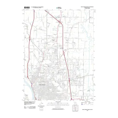
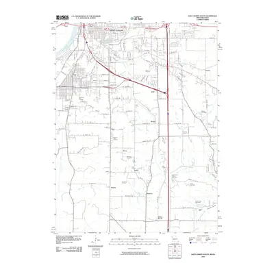
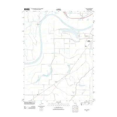
Historical Maps of Saint Joseph Through Time
22 maps found
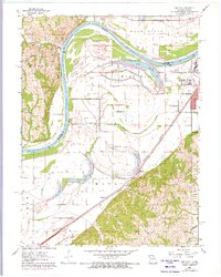
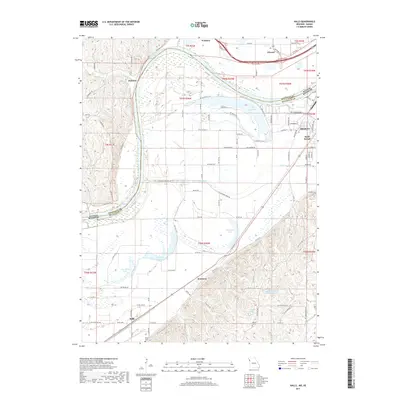
1961 Halls
Buchanan County, MO
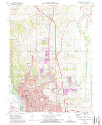
1971 St. Joseph North
Buchanan County, MO
1971 St. Joseph South
Buchanan County, MO
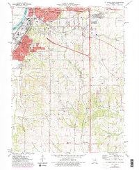
1980 St. Joseph North
Buchanan County, MO
1980 St. Joseph South
Buchanan County, MO
1986 Saint Joseph
Buchanan County, MO
1997 St. Joseph North
Buchanan County, MO
2009 Halls
Buchanan County, MO
2009 Saint Joseph North
Buchanan County, MO
2009 Saint Joseph South
Buchanan County, MO
2012 Halls
Buchanan County, MO
2012 Saint Joseph North
Buchanan County, MO
2012 Saint Joseph South
Buchanan County, MO
2014 Halls
Buchanan County, MO
2015 Saint Joseph North
Buchanan County, MO
2015 Saint Joseph South
Buchanan County, MO
2017 Halls
Buchanan County, MO
2017 Saint Joseph North
Buchanan County, MO
2017 Saint Joseph South
Buchanan County, MO
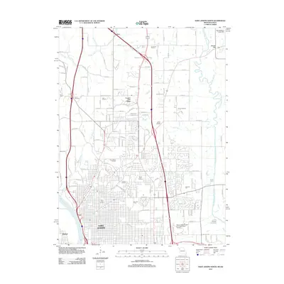
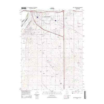
2021 Halls
Buchanan County, MO
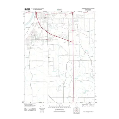
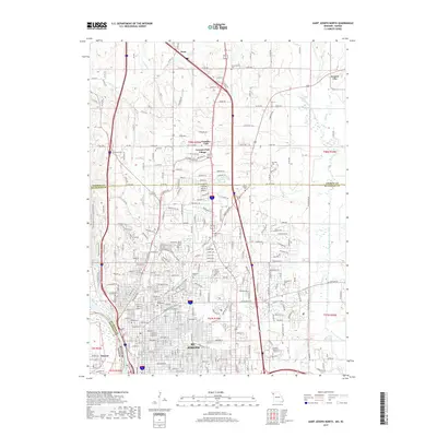
2021 Saint Joseph North
Buchanan County, MO
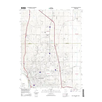
2021 Saint Joseph South
Buchanan County, MO