
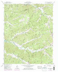
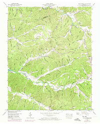
1950 Map of Halls Creek
USGS Topo · Published 1953About this map
Kentucky Lake borders the western edge of this landscape, its shoreline defined by the Kentucky Reservation Bdy following the 1940s inundation of the Tennessee River valley. The terrain is a dense network of hollows and ridges, such as Resin Ridge and Chestnut Ridge, where small communities and family farmsteads are centered around rural institutions. Notable social centers include Ellis Grove Church and the nearby Ellis Grove School, alongside other congregations like Trinity Ch and Moriah Ch.
Find a feature on this map
115 named features on this map. Tap any name to fly to it.
Don’t see what you’re looking for? This feature index may not catch every label — zoom into the map to look around manually.
Map Details
Editions of this 1950 Halls Creek Map
3 editions found
Other maps of this area

1931 · Erin
USGS Topo · 1:62,500

1936 · Gorman
USGS Topo · 1:24,000

1936 · Tantrough Hollow
USGS Topo · 1:24,000

1936 · McKinnon
USGS Topo · 1:24,000

1936 · Woolworth
USGS Topo · 1:24,000

1936 · Stewart
USGS Topo · 1:24,000

1936 · Halls Creek
USGS Topo · 1:24,000

1936 · Johnsonville
USGS Topo · 1:24,000

1936 · Harmon Creek
USGS Topo · 1:24,000

1936 · Waverly
USGS Topo · 1:24,000