
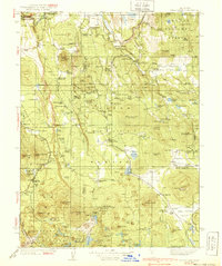
1939 Map of Halls Flat
USGS Topo · Published 1939About this map
Lassen National Forest and the northern reaches of Lassen Volcanic National Park dominate this 1930s landscape, where the volcanic geology is mapped through features like Cinder Cone, Popcorn Caves, and Caribou Pk. The economy of the High Sierra is evident in the network of remote outposts and family holdings such as the DeLashmutt Ranch, Cone Ranch, and the Russell Dairy. The Western Pacific railroad cuts through the center of the sheet, serving timber and ranching interests in the high valleys.
Find a feature on this map
157 named features on this map. Tap any name to fly to it.
Don’t see what you’re looking for? This feature index may not catch every label — zoom into the map to look around manually.
Map Details
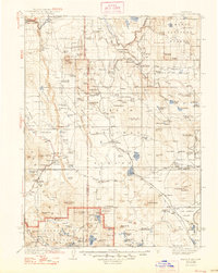
Editions of this 1939 Halls Flat Map
3 editions found
Other maps of this area

1886 · Alturas
USGS Topo · 1:250,000

1886 · Honey Lake
USGS Topo · 1:250,000

1886 · Lassen Peak
USGS Topo · 1:250,000

1886 · Modoc Lava Bed
USGS Topo · 1:250,000

1891 · Honey Lake
USGS Topo · 1:250,000

1892 · Modoc Lava-Bed
USGS Topo · 1:250,000

1892 · Lassen Peak
USGS Topo · 1:250,000

1892 · Alturas
USGS Topo · 1:250,000

1893 · Honey Lake
USGS Topo · 1:250,000

1894 · Lassen Peak
USGS Topo · 1:250,000