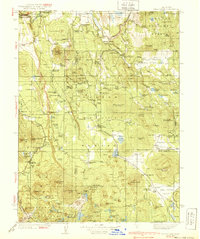
1939 Map of Halls Flat
USGS Topo · Published 1939About this map
Modoc National Forest and Lassen National Forest converge on this 1930s landscape, where volcanic topography meets early California ranching and timber interests. The presence of Subway Cave, Ice Cave, and the Devils Half Acre highlights the unique geologic character of the region, anchored by peaks like West Prospect Peak and Raker Peak. The map documents a working landscape dotted with family operations such as the Ward Ranch, Dixie Ranch, and Russell Dairy. Industrial and government infrastructure is well-established, evidenced by the Western Pacific and Pacific railroads cutting through the valleys, alongside several outposts like the Halls Flat Ranger Station. The Emigrant Trail remains a visible historical thread across the southern portion of the quadrangle, linking the era of settlement to the early 20th-century forest management era.
Find a feature on this map
170 named features on this map. Tap any name to fly to it.
Don’t see what you’re looking for? This feature index may not catch every label — zoom into the map to look around manually.
Map Details
Editions of this 1939 Halls Flat Map
3 editions found

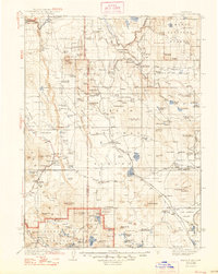
Other maps of this area

1886 · Alturas
USGS Topo · 1:250,000

1886 · Honey Lake
USGS Topo · 1:250,000

1886 · Lassen Peak
USGS Topo · 1:250,000

1886 · Modoc Lava Bed
USGS Topo · 1:250,000

1891 · Honey Lake
USGS Topo · 1:250,000

1892 · Modoc Lava-Bed
USGS Topo · 1:250,000

1892 · Lassen Peak
USGS Topo · 1:250,000

1892 · Alturas
USGS Topo · 1:250,000

1893 · Honey Lake
USGS Topo · 1:250,000

1894 · Lassen Peak
USGS Topo · 1:250,000