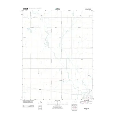
2012 Map of Halstead
USGS Topo · Published 2012About this map
The Little Arkansas River and Black Kettle Cr wind through the Harvey County agricultural landscape, defining the character of this central Kansas region. In the south, the city of Halstead serves as the primary hub, showing the street grid near the Post Office and industrial sites. The surrounding countryside is dotted with historic markers of early settlement, most notably the Fairview Pioneer Cem and the former mill site at Alta Mills along the river. This 2012 survey illustrates the modern intersection of traditional agriculture and energy extraction, as seen in the Halstead Oil Field located east of the city. Transportation is anchored by a rigid network of section roads like N Halstead Rd and N Spring Lake Rd, which provide access to local landmarks including the Spring Lake Recreational Vehicle Camping Resort and the Halstead Airport.
Find a feature on this map
37 named features on this map. Tap any name to fly to it.
Don’t see what you’re looking for? This feature index may not catch every label — zoom into the map to look around manually.
Map Details
Editions of this 2012 Halstead Map
This is the sole edition of this map. No revisions or reprints were ever made.
Other maps of this area

1889 · Newton
USGS Topo · 1:125,000

1889 · Cheney
USGS Topo · 1:125,000

1889 · Wichita
USGS Topo · 1:125,000

1891 · Hutchinson
USGS Topo · 1:125,000

1891 · Cheney
USGS Topo · 1:125,000

1893 · Hutchinson
USGS Topo · 1:125,000

1894 · Wichita
USGS Topo · 1:125,000

1894 · Newton
USGS Topo · 1:125,000

1901 · Cheney
USGS Topo · 1:125,000

1955 · Wichita
USGS Topo · 1:250,000