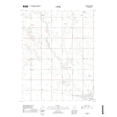
2018 Map of Halstead
USGS Topo · Published 2018About this map
Little Arkansas River meanders through the heart of this Harvey County landscape, defining the character of the prairie terrain between the settlements of Alta Mills and Paxton. The river's winding course is supplemented by tributaries like Black Kettle Cr and N Br Kisiwa Cr, which drain the agricultural sections of the county. In the southeast corner, the town of Halstead serves as the primary hub, where local history is anchored by the Warkentine Trail and the nearby Halstead Airport. For those tracing local heritage, the map identifies significant sites such as the Fairview Pioneer Cem and the Garden Community Church Cem, reflecting the early community structures that defined this part of Kansas. A network of rural roads, including S Old Settlers Rd and N Golden Prairie Rd, connects these far-flung homesteads and landmarks.
Find a feature on this map
51 named features on this map. Tap any name to fly to it.
Don’t see what you’re looking for? This feature index may not catch every label — zoom into the map to look around manually.
Map Details
Editions of this 2018 Halstead Map
This is the sole edition of this map. No revisions or reprints were ever made.
Other maps of this area

1889 · Newton
USGS Topo · 1:125,000

1889 · Cheney
USGS Topo · 1:125,000

1889 · Wichita
USGS Topo · 1:125,000

1891 · Hutchinson
USGS Topo · 1:125,000

1891 · Cheney
USGS Topo · 1:125,000

1893 · Hutchinson
USGS Topo · 1:125,000

1894 · Wichita
USGS Topo · 1:125,000

1894 · Newton
USGS Topo · 1:125,000

1901 · Cheney
USGS Topo · 1:125,000

1955 · Wichita
USGS Topo · 1:250,000