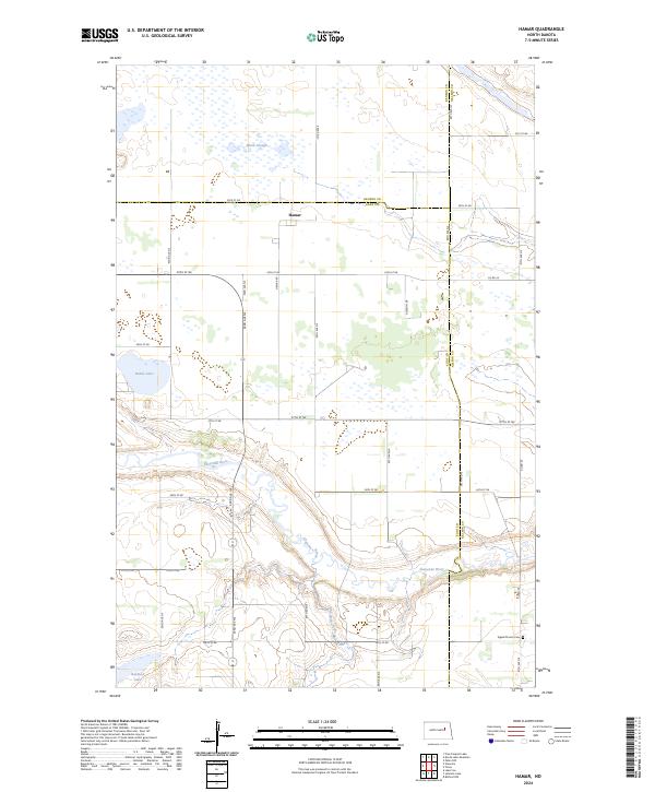
2024 Map of Hamar
USGS Topo · Published 2024About this map
Hamar serves as a central point in this prairie landscape, situated near the intersection of the Benson and Eddy county lines. The terrain is defined by the winding course of the Sheyenne River, which carves a distinct valley through the southern half of the quadrangle, joined by Colvin Creek as it meanders eastward. This 2024 map documents a region heavily focused on conservation and the natural hydrography of the Northern Plains, featuring extensive protected lands such as the Benson County Waterfowl Production Area and the Eddy County Waterfowl Production Area. Local history is anchored by the Sigdal Church Cem in the southeast, while numerous water bodies like Battle Lake and Black Slough dot the northern reaches, illustrating the pothole geology characteristic of this part of North Dakota.
Find a feature on this map
37 named features on this map. Tap any name to fly to it.
Don’t see what you’re looking for? This feature index may not catch every label — zoom into the map to look around manually.
Map Details
Editions of this 2024 Hamar Map
This is the sole edition of this map. No revisions or reprints were ever made.
Other maps of this area

1930 · Pekin
USGS Topo · 1:62,500

1930 · Hamar
USGS Topo · 1:62,500

1950 · Devils Lake Mountain
USGS Topo · 1:24,000

1951 · Devils Lake Mountain
USGS Topo · 1:24,000

1951 · Pekin NW
USGS Topo · 1:24,000

1951 · Free Peoples Lake
USGS Topo · 1:24,000

1951 · Tolna
USGS Topo · 1:24,000

1951 · Pekin
USGS Topo · 1:62,500

1952 · New Rockford
USGS Topo · 1:250,000

1956 · New Rockford
USGS Topo · 1:250,000