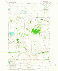
1962 Map of Hamar
USGS Topo · Published 1964About this map
The Great Northern railroad tracks anchor the small settlement of Hamar in this mid-century survey of the North Dakota prairie. The landscape is defined by the winding course of the Sheyenne River, which carves through the southern portion of the map, and the prominent Devils Lake Indian Reservation Boundary that bisects the terrain. This area reflects a classic Great Plains agricultural and transport network, where township lines like Freeborn and Dayton meet at the intersection of Benson, Eddy, and Nelson counties.
Find a feature on this map
22 named features on this map. Tap any name to fly to it.
Don’t see what you’re looking for? This feature index may not catch every label — zoom into the map to look around manually.
Map Details
Editions of this 1962 Hamar Map
This is the sole edition of this map. No revisions or reprints were ever made.
Other maps of this area

1930 · Pekin
USGS Topo · 1:62,500

1930 · Hamar
USGS Topo · 1:62,500

1950 · Devils Lake Mountain
USGS Topo · 1:24,000

1951 · Devils Lake Mountain
USGS Topo · 1:24,000

1951 · Pekin NW
USGS Topo · 1:24,000

1951 · Free Peoples Lake
USGS Topo · 1:24,000

1951 · Tolna
USGS Topo · 1:24,000

1951 · Pekin
USGS Topo · 1:62,500

1952 · New Rockford
USGS Topo · 1:250,000

1956 · New Rockford
USGS Topo · 1:250,000