
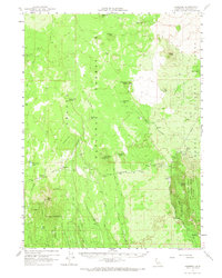
1961 Map of Hambone
USGS Topo · Published 1963About this map
The timber and transit network of eastern Siskiyou County comes into focus in this early 1960s study, where the boundary between the Shasta National Forest and Modoc National Forest is defined by a landscape of volcanic buttes and isolated springs. The settlement of Hambone serves as a central point for the region's infrastructure, connected by the Great Northern line and an Old Railroad Grade that traces the movement of resources through the high country.
Find a feature on this map
45 named features on this map. Tap any name to fly to it.
Don’t see what you’re looking for? This feature index may not catch every label — zoom into the map to look around manually.
Map Details
Editions of this 1961 Hambone Map
2 editions found
Other maps of this area

1886 · Modoc Lava Bed
USGS Topo · 1:250,000

1892 · Modoc Lava-Bed
USGS Topo · 1:250,000

1932 · Bartle
USGS Topo · 1:96,000

1939 · Bartle
USGS Topo · 1:125,000

1950 · Bray
USGS Topo · 1:62,500

1952 · Timber Mountain
USGS Topo · 1:62,500

1952 · Medicine Lake
USGS Topo · 1:62,500

1954 · Alturas
USGS Topo · 1:250,000

1958 · Alturas
USGS Topo · 1:250,000

1961 · Pondosa
USGS Topo · 1:62,500