2024 Map of Hamburg
USGS Topo · Published 2024About this map
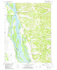
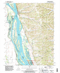
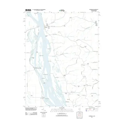
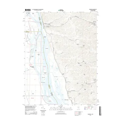
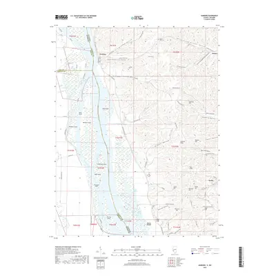
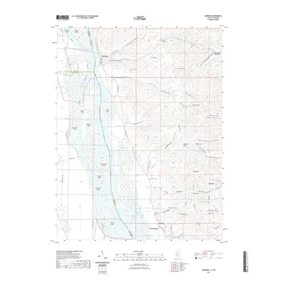
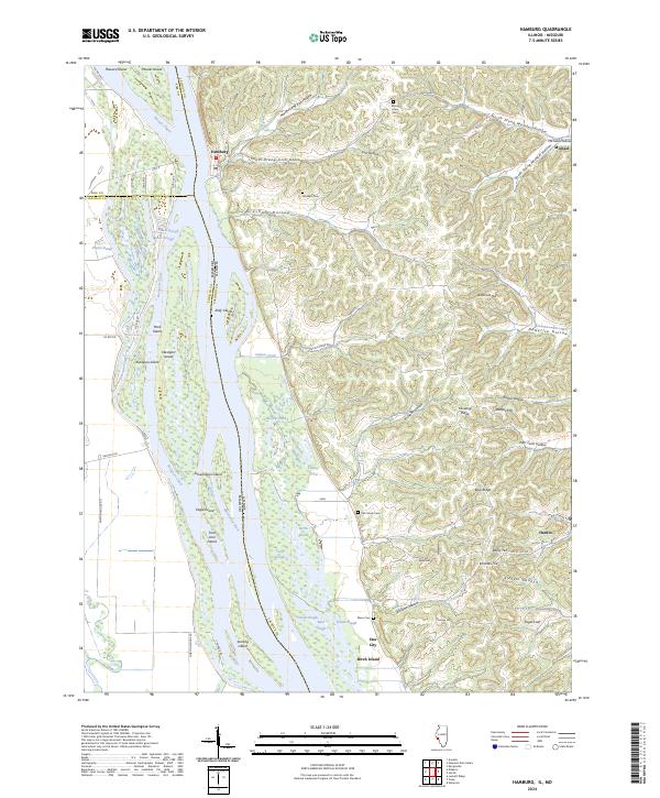
The Mississippi River forms the dominant boundary of this quadrangle, separating the riverfront settlements of Hamburg and Hardin from the sprawling wetlands of the Two Rivers National Wildlife Refuge. The landscape is a complex network of side channels and backwaters, including Westport Chute, Kickapoo Chute, and Sand Slough, which weave around substantial landmasses like Westport Island and Kelly Island. To the east, the terrain rises into the dissected bluffs of Calhoun County, marked by deep valleys such as North Prong Michael Hollow and Gresham Hollow.
Find a feature on this map
73 named features on this map. Tap any name to fly to it.
Don’t see what you’re looking for? This feature index may not catch every label — zoom into the map to look around manually.
Map Details
Editions of this 2024 Hamburg Map
This is the sole edition of this map. No revisions or reprints were ever made.
Historical Maps of Hardin Through Time
7 maps found