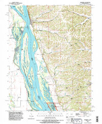
1993 Map of Hamburg
USGS Topo · Published 1996About this map
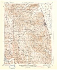
Hamburg and the high ridges of Calhoun Co dominate this river-valley landscape, where the Mississippi River weaves through a complex network of backwaters and islands. The eastern shore is defined by steep bluffs and narrow hollows like Michael Hollow and DeGerlia Hollow, which give way to the prominent Dividing Ridge. Small rural settlements and scattered family cemeteries such as Gresham Cem and Oak Grove Cem reflect the agrarian character of the Illinois uplands during the late 20th century.
Find a feature on this map
77 named features on this map. Tap any name to fly to it.
Don’t see what you’re looking for? This feature index may not catch every label — zoom into the map to look around manually.
Map Details
Editions of this 1993 Hamburg Map
This is the sole edition of this map. No revisions or reprints were ever made.
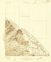
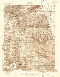
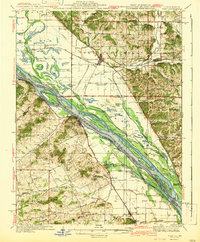
Other maps of this area

1930 · Pearl
USGS Topo · 1:62,500

1930 · Nebo
USGS Topo · 1:62,500

1930 · Hardin
USGS Topo · 1:62,500
1934 · Nebo
USGS Topo · 1:48,000
1934 · Elsberry
USGS Topo · 1:48,000

1934 · Hardin
USGS Topo · 1:62,500

1938 · Hardin
USGS Topo · 1:62,500
1942 · Nebo
USGS Topo · 1:62,500
1942 · Elsberry
USGS Topo · 1:62,500

1948 · Quincy
USGS Topo · 1:250,000