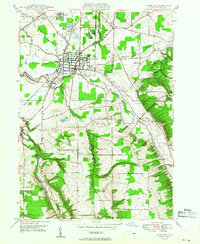
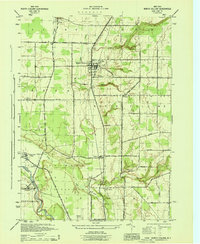
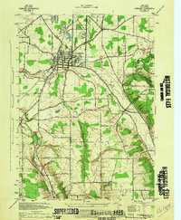
1948 Map of Hamburg
USGS Topo · Published 1948About this map
The Hamburg township area in the late 1940s is defined by its transition from a dense rail-connected village to the surrounding agricultural uplands. The Erie RR cuts through the village center, supporting local industry near the Erie County Fairgrounds, while the surrounding landscape is marked by the winding courses of Eighteenmile Creek and Hampton Brook. This survey highlights the early development of recreational spaces like the South Shore Country Club and the sprawling Chestnut Ridge Park to the east.
Find a feature on this map
42 named features on this map. Tap any name to fly to it.
Don’t see what you’re looking for? This feature index may not catch every label — zoom into the map to look around manually.
Map Details
Editions of this 1948 Hamburg Map
This is the sole edition of this map. No revisions or reprints were ever made.
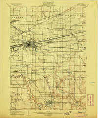
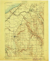
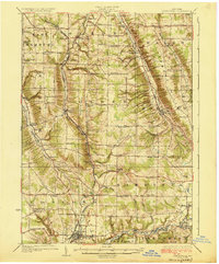
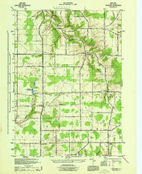
Other maps of this area

1894 · Buffalo
USGS Topo · 1:62,500

1901 · Buffalo
USGS Topo · 1:62,500
1905 · Depew
USGS Topo · 1:62,500

1905 · Eden
USGS Topo · 1:62,500
1907 · Eden
USGS Topo · 1:62,500
1925 · Springville
USGS Topo · 1:62,500

1944 · Eden
USGS Topo · 1:62,500
1944 · North Collins
USGS Topo · 1:31,680
1944 · Hamburg
USGS Topo · 1:31,680
1944 · Langford
USGS Topo · 1:31,680