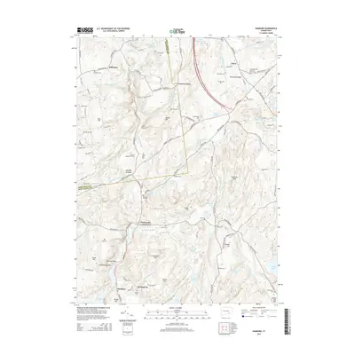
2015 Map of Hamburg
USGS Topo · Published 2015About this map
The Eightmile River flows through this corner of Connecticut, carving a landscape defined by prominent ridges like Wheatfield Ridge and Chapman Ridge. The settlement pattern follows old routes such as the Essex Tpke, with clusters of activity at Hamburg, Sterling City, and Jewitt Corner. These hamlets are interspersed with numerous family and community burial grounds, including the Millington Cem, Sisson Cem, and Whittlesey Cem, which offer significant value for genealogical research in New London and Middlesex counties. The topography is dotted with numerous small water bodies like Alexander Pond and Uncas Pond, while the northern portion features the distinct Devils Hopyard Field. Local landmarks like the Hamburg Bridge and Macks Mill Hill highlight the historical infrastructure that supported these riverside communities before the modern era of development.
Find a feature on this map
135 named features on this map. Tap any name to fly to it.
Don’t see what you’re looking for? This feature index may not catch every label — zoom into the map to look around manually.
Map Details
Editions of this 2015 Hamburg Map
This is the sole edition of this map. No revisions or reprints were ever made.
Other maps of this area

1892 · New London
USGS Topo · 1:62,500

1892 · Norwich
USGS Topo · 1:62,500

1892 · Gilead
USGS Topo · 1:62,500

1893 · New London
USGS Topo · 1:62,500

1893 · Saybrook
USGS Topo · 1:62,500

1921 · New London
USGS Topo · 1:62,500

1934 · Niantic
USGS Topo · 1:24,000

1935 · Montville
USGS Topo · 1:24,000

1938 · Niantic
USGS Topo · 1:62,500

1939 · Montville
USGS Topo · 1:31,680