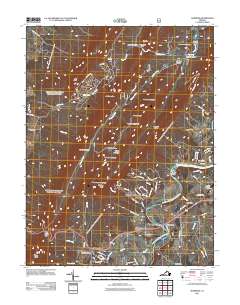
2011 Map of Hamburg
USGS Topo · Published 2011About this map
The South Fork Shenandoah River winds through the eastern portion of this quadrangle, shaping the development of riverside communities like Whitehouse Landing, White House, and Hamburg. The landscape is dominated by the dramatic ridgelines of Massanutten Mountain and Kerns Mountain, which separate the river valley from the drainage of Passage Creek. These mountains are punctuated by numerous gaps, such as Jawbone Gap and Burners Gap, which have historically dictated transit routes through the timbered reaches of the Shenandoah Forest.
Find a feature on this map
80 named features on this map. Tap any name to fly to it.
Don’t see what you’re looking for? This feature index may not catch every label — zoom into the map to look around manually.
Map Details
Editions of this 2011 Hamburg Map
This is the sole edition of this map. No revisions or reprints were ever made.
Other maps of this area

1892 · Woodstock
USGS Topo · 1:125,000

1893 · Luray
USGS Topo · 1:125,000

1905 · Luray
USGS Topo · 1:125,000

1923 · Edinburg
USGS Topo · 1:62,500

1929 · Stony Man
USGS Topo · 1:48,000

1933 · Stony Man
USGS Topo · 1:62,500

1942 · Mt Jackson
USGS Topo · 1:62,500

1946 · Mt Jackson
USGS Topo · 1:62,500

1947 · Mt Jackson
USGS Topo · 1:62,500

1947 · Strasburg
USGS Topo · 1:62,500