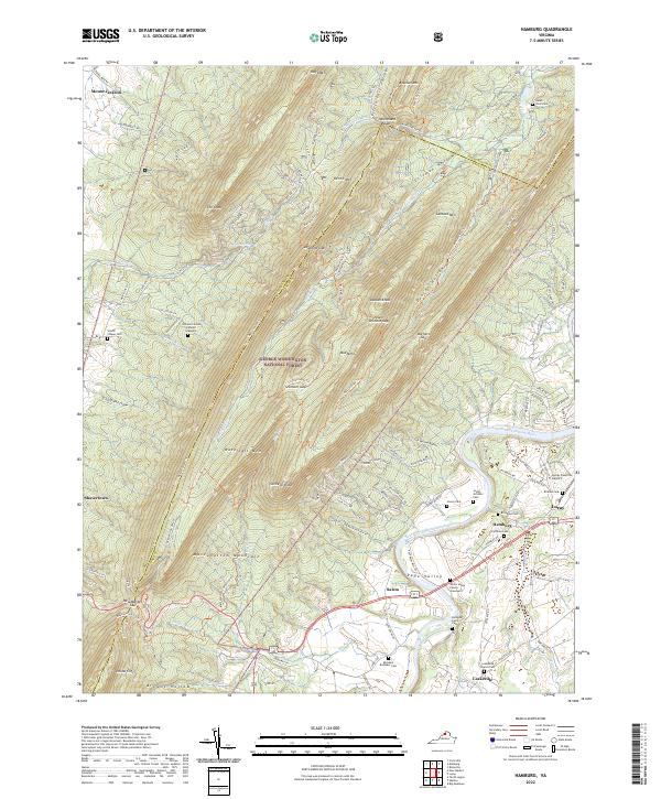
2022 Map of Hamburg
USGS Topo · Published 2022About this map
Massanutten Mountain dominates the landscape of this region, creating a dramatic series of ridges and valleys within the George Washington National Forest. The geography is defined by prominent peaks like Strickler Knob and Duncan Knob, which hem in narrow corridors such as Crisman Hollow and Duncan Hollow. These mountain features separate the broader Page Valley to the east from the forest interior. Along the South Fork Shenandoah River, the settlement pattern reflects deep-rooted family histories, evidenced by numerous private burial grounds.
Find a feature on this map
122 named features on this map. Tap any name to fly to it.
Don’t see what you’re looking for? This feature index may not catch every label — zoom into the map to look around manually.
Map Details
Editions of this 2022 Hamburg Map
This is the sole edition of this map. No revisions or reprints were ever made.
Other maps of this area

1892 · Woodstock
USGS Topo · 1:125,000

1893 · Luray
USGS Topo · 1:125,000

1905 · Luray
USGS Topo · 1:125,000

1923 · Edinburg
USGS Topo · 1:62,500

1929 · Stony Man
USGS Topo · 1:48,000

1933 · Stony Man
USGS Topo · 1:62,500

1942 · Mt Jackson
USGS Topo · 1:62,500

1946 · Mt Jackson
USGS Topo · 1:62,500

1947 · Mt Jackson
USGS Topo · 1:62,500

1947 · Strasburg
USGS Topo · 1:62,500