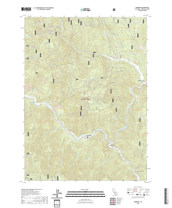
2022 Map of Hamburg
USGS Topo · Published 2022About this map
The Klamath River carves a deep, winding path through this portion of the Klamath National Forest, where the small settlements of Hamburg and Steelhead sit along the riverbanks. The terrain is defined by steep ridges and numerous gulches, such as Robinson Gulch and Hicks Gulch, which drain into the main waterway. This modern survey shows the persistence of small mountain communities and their connection to the landscape through features like Hamburg Cem and Horse Creek Cem. To the south, the terrain rises toward the Marble Mountains and Browns Knob, while the northern reaches include White Cloud Mtn and Fish Meadow. The map detail captures a network of forest roads, including Horse Creek Rd and Dogget Middle Rd, providing access to remote points like Telephone Saddle and Johnny O'Neil Ridge.
Find a feature on this map
48 named features on this map. Tap any name to fly to it.
Don’t see what you’re looking for? This feature index may not catch every label — zoom into the map to look around manually.
Map Details
Editions of this 2022 Hamburg Map
This is the sole edition of this map. No revisions or reprints were ever made.
Other maps of this area

1886 · Shasta
USGS Topo · 1:250,000

1894 · Shasta
USGS Topo · 1:250,000

1914 · Seiad
USGS Topo · 1:125,000

1922 · Seiad
USGS Topo · 1:125,000

1932 · Yreka
USGS Topo · 1:96,000

1939 · Yreka
USGS Topo · 1:125,000

1948 · Weed
USGS Topo · 1:250,000

1950 · Weed
USGS Topo · 1:250,000

1955 · Seiad Valley
USGS Topo · 1:62,500

1955 · Condrey Mtn
USGS Topo · 1:62,500