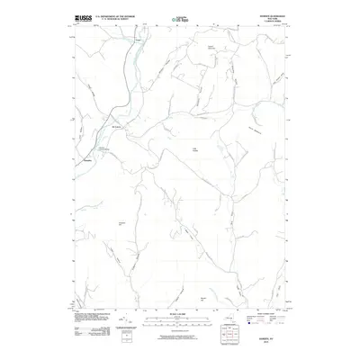
2010 Map of Hamden
USGS Topo · Published 2010About this map
The West Branch Delaware River carves a deep valley through this portion of Delaware County, serving as the primary corridor for settlement and transit. The historic Hamden Covered Bridge stands as a notable landmark near the village of Hamden, where the river is joined by Mallory Brook. Further upstream, the small settlements of De Lancey and Fraser sit nestled between the riverbanks and the steep rises of the Catskill foothills.
Find a feature on this map
55 named features on this map. Tap any name to fly to it.
Don’t see what you’re looking for? This feature index may not catch every label — zoom into the map to look around manually.
Map Details
Editions of this 2010 Hamden Map
This is the sole edition of this map. No revisions or reprints were ever made.
Other maps of this area

1909 · Delhi
USGS Topo · 1:62,500

1911 · Delhi
USGS Topo · 1:62,500

1915 · Oneonta
USGS Topo · 1:62,500

1918 · Oneonta
USGS Topo · 1:62,500

1922 · Andes
USGS Topo · 1:62,500

1923 · Walton
USGS Topo · 1:48,000

1924 · Andes
USGS Topo · 1:62,500

1925 · Walton
USGS Topo · 1:62,500

1943 · Delhi
USGS Topo · 1:24,000

1943 · Bloomville
USGS Topo · 1:24,000