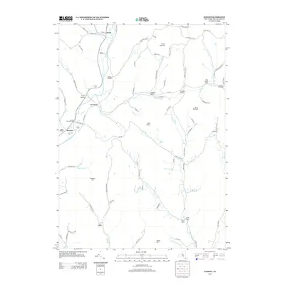
2013 Map of Hamden
USGS Topo · Published 2013About this map
The West Br Delaware River carves a narrow valley through the heart of this landscape, anchoring small settlements like Hamden and De Lancey. This 2013 survey records a rural geography defined by its hollows and family legacies, where topographic landmarks like Devils Backbone and Scotch Mountain tower over winding roads. Genealogists will find significant value in the documentation of localized burial grounds, including the Yendes Family Cem, Bostwick Cem, and the Thompson Family Cem. Along the river, the Hamden Covered Bridge stands as a notable architectural landmark, while agricultural sites like Lucky Dog Farm reflect the continuing heritage of the region. The map also traces the drainage patterns of numerous tributaries, such as Platter Brook and Bagley Brook, as they descend from the high ridges into the main river valley.
Find a feature on this map
80 named features on this map. Tap any name to fly to it.
Don’t see what you’re looking for? This feature index may not catch every label — zoom into the map to look around manually.
Map Details
Editions of this 2013 Hamden Map
This is the sole edition of this map. No revisions or reprints were ever made.
Other maps of this area

1909 · Delhi
USGS Topo · 1:62,500

1911 · Delhi
USGS Topo · 1:62,500

1915 · Oneonta
USGS Topo · 1:62,500

1918 · Oneonta
USGS Topo · 1:62,500

1922 · Andes
USGS Topo · 1:62,500

1923 · Walton
USGS Topo · 1:48,000

1924 · Andes
USGS Topo · 1:62,500

1925 · Walton
USGS Topo · 1:62,500

1943 · Delhi
USGS Topo · 1:24,000

1943 · Bloomville
USGS Topo · 1:24,000