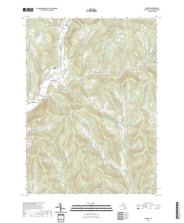
2023 Map of Hamden
USGS Topo · Published 2023About this map
The West Branch Delaware River carves a deep valley through this portion of Delaware County, defining the settlement patterns of Hamden and De Lancey. The surrounding Catskill foothills are characterized by a dense network of hollows and cloves, including Covert Hollow and Fall Clove, where local roads follow the natural drainage of the land. This 2023 survey illustrates the persistent rural character of the region, where small hamlets like Fraser are connected by winding routes such as the Andes-Delancey Rd.
Find a feature on this map
85 named features on this map. Tap any name to fly to it.
Don’t see what you’re looking for? This feature index may not catch every label — zoom into the map to look around manually.
Map Details
Editions of this 2023 Hamden Map
This is the sole edition of this map. No revisions or reprints were ever made.
Other maps of this area

1909 · Delhi
USGS Topo · 1:62,500

1911 · Delhi
USGS Topo · 1:62,500

1915 · Oneonta
USGS Topo · 1:62,500

1918 · Oneonta
USGS Topo · 1:62,500

1922 · Andes
USGS Topo · 1:62,500

1923 · Walton
USGS Topo · 1:48,000

1924 · Andes
USGS Topo · 1:62,500

1925 · Walton
USGS Topo · 1:62,500

1943 · Delhi
USGS Topo · 1:24,000

1943 · Bloomville
USGS Topo · 1:24,000