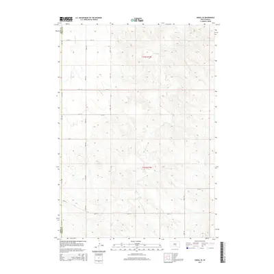
2015 Map of Hamill SE
USGS Topo · Published 2015About this map
The rolling plains along the Tripp Co Lyman Co line are defined by the intricate drainage systems of Bull Creek and Black Dog Creek. This 2015 survey of the Hamill SE area illustrates a landscape structured by a precise grid of section lines and rural thoroughfares, such as 327th Ave and 268th St. The territory is divided into t102n r73w and t101n r73w, showing the enduring influence of the Public Land Survey System on the modern geography of central South Dakota. Land use appears primarily agricultural or open range, with the meandering course of Bull Creek serving as the primary topographic focal point across the quadrangle.
Find a feature on this map
15 named features on this map. Tap any name to fly to it.
Don’t see what you’re looking for? This feature index may not catch every label — zoom into the map to look around manually.
Map Details
Editions of this 2015 Hamill SE Map
This is the sole edition of this map. No revisions or reprints were ever made.
Other maps of this area

1940 · Iona
USGS Topo · 1:62,500

1944 · Iona
USGS Topo · 1:62,500

1952 · Hamill NW
USGS Topo · 1:24,000

1952 · Hamill NE
USGS Topo · 1:24,000

1952 · Iona NW
USGS Topo · 1:24,000

1955 · Mitchell
USGS Topo · 1:250,000

1959 · Mitchell
USGS Topo · 1:250,000

1971 · Hamill SE
USGS Topo · 1:24,000

1971 · Rattlesnake Butte East
USGS Topo · 1:24,000

1971 · Hamill
USGS Topo · 1:24,000