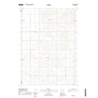
2017 Map of Hamill SE
USGS Topo · Published 2017About this map
Bull Creek and Black Dog Creek define the drainage patterns of this South Dakota prairie landscape, where the border between Tripp County and Lyman County runs north-to-south. The map area is characterized by a precise grid of rural section lines and local roads, including 328 Avenue and 263rd Street, which facilitate access across the open terrain. This 2017 U.S. Geological Survey data illustrates the enduring Public Land Survey System structure through township and range markers like t102n r73w. The presence of County Highway 01 in the southeast provides a primary transport link through this sparsely populated ranching and agricultural region, showing the intersection of natural watercourses and human-imposed boundaries.
Find a feature on this map
15 named features on this map. Tap any name to fly to it.
Don’t see what you’re looking for? This feature index may not catch every label — zoom into the map to look around manually.
Map Details
Editions of this 2017 Hamill SE Map
This is the sole edition of this map. No revisions or reprints were ever made.
Other maps of this area

1940 · Iona
USGS Topo · 1:62,500

1944 · Iona
USGS Topo · 1:62,500

1952 · Hamill NW
USGS Topo · 1:24,000

1952 · Hamill NE
USGS Topo · 1:24,000

1952 · Iona NW
USGS Topo · 1:24,000

1955 · Mitchell
USGS Topo · 1:250,000

1959 · Mitchell
USGS Topo · 1:250,000

1971 · Hamill SE
USGS Topo · 1:24,000

1971 · Rattlesnake Butte East
USGS Topo · 1:24,000

1971 · Hamill
USGS Topo · 1:24,000