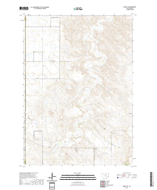
2021 Map of Hamill SE
USGS Topo · Published 2021About this map
The Tripp Co Lyman Co line runs through this sparsely settled pocket of South Dakota, defined by the winding course of Bull Cr. The landscape is largely structured by the Public Land Survey System, with the townships of t102n r73w and t101n r73w anchoring the central portion of the survey. Transportation is limited to a rigid grid of gravel roads and section lines, including 327th Ave and 263rd St, which navigate the drainages of Black Dog Cr in the northwest. This 2021 map documents a modern snapshot of the High Plains, where human presence is marked more by the systematic division of ranching and agricultural land than by concentrated settlements. The terrain is characterized by the intricate contouring around the creek beds, showing the natural erosion patterns that break the flat prairie horizon.
Find a feature on this map
17 named features on this map. Tap any name to fly to it.
Don’t see what you’re looking for? This feature index may not catch every label — zoom into the map to look around manually.
Map Details
Editions of this 2021 Hamill SE Map
This is the sole edition of this map. No revisions or reprints were ever made.
Other maps of this area

1940 · Iona
USGS Topo · 1:62,500

1944 · Iona
USGS Topo · 1:62,500

1952 · Hamill NW
USGS Topo · 1:24,000

1952 · Hamill NE
USGS Topo · 1:24,000

1952 · Iona NW
USGS Topo · 1:24,000

1955 · Mitchell
USGS Topo · 1:250,000

1959 · Mitchell
USGS Topo · 1:250,000

1971 · Hamill SE
USGS Topo · 1:24,000

1971 · Rattlesnake Butte East
USGS Topo · 1:24,000

1971 · Hamill
USGS Topo · 1:24,000