2023 Map of Hamilton
USGS Topo · Published 2023About this map
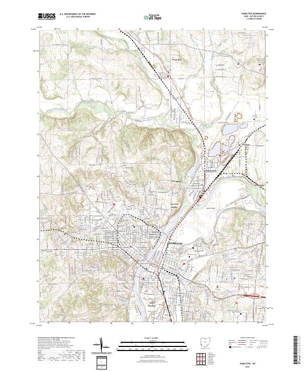
The Great Miami River anchors this detailed Butler County landscape, winding through the industrial and residential heart of Hamilton. The city's core is defined by the Butler County Courthouse and a dense urban grid that transitions into outlying settlements such as New Miami, Williamsdale, and Seven Mile. Along the riverbanks, historical crossing points are preserved in the labels for the Upper Ferry and Lower Ferry, reflecting a legacy of river-based transit even as modern infrastructure like the CSX railroad corridor dominates the valley today.
Find a feature on this map
305 named features on this map. Tap any name to fly to it.
Don’t see what you’re looking for? This feature index may not catch every label — zoom into the map to look around manually.
Map Details
Editions of this 2023 Hamilton Map
This is the sole edition of this map. No revisions or reprints were ever made.
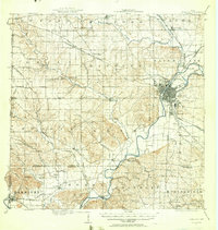
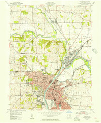
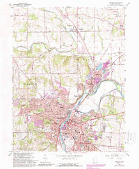
Historical Maps of Hanover Township Through Time
5 maps found

Featured Locations
- Fairfield Township, OH
- Hamilton, OH
- Ross Township, OH
- New Miami, St. Clair Township
- Seven Mile, Wayne Township