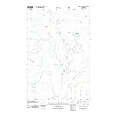
2011 Map of Hamilton Buttes
USGS Topo · Published 2011About this map
Hamilton Buttes and Elk Peak dominate this high-elevation terrain in the Washington Cascades, where the Cispus River and its numerous tributaries have carved a complex drainage network. The 2011 survey shows a landscape defined by sharp ridgelines such as Stonewall Ridge and Cozy Ridge, alongside the high-altitude Goat Ridge Lookout. Water is abundant in the form of glacial or alpine lakes, including Wobbly Lake, Saint Michael Lake, and Saint John Lake, which feed into steep-descending creeks like Pimlico Creek and Wesley Creek. Recreational access and forest management are evident through the presence of Berry Patch and the Chambers Lake Campground, connected by a web of Forest Service routes including 2150 and 2160. The map illustrates the preservation of backcountry character, where peak names and remote water bodies serve as the primary landmarks for navigation and land use.
Find a feature on this map
34 named features on this map. Tap any name to fly to it.
Don’t see what you’re looking for? This feature index may not catch every label — zoom into the map to look around manually.
Map Details
Editions of this 2011 Hamilton Buttes Map
This is the sole edition of this map. No revisions or reprints were ever made.
Other maps of this area

1902 · Mount Aix
USGS Topo · 1:125,000

1904 · Mt Aix
USGS Topo · 1:125,000

1904 · Mount Adams
USGS Topo · 1:125,000

1907 · Mount Adams
USGS Topo · 1:125,000

1924 · Mt Rainier
USGS Topo · 1:96,000

1926 · Steamboat Mtn
USGS Topo · 1:125,000

1928 · Mt Rainier
USGS Topo · 1:125,000

1931 · Steamboat Mtn
USGS Topo · 1:125,000

1950 · Yakima
USGS Topo · 1:250,000

1958 · Yakima
USGS Topo · 1:250,000