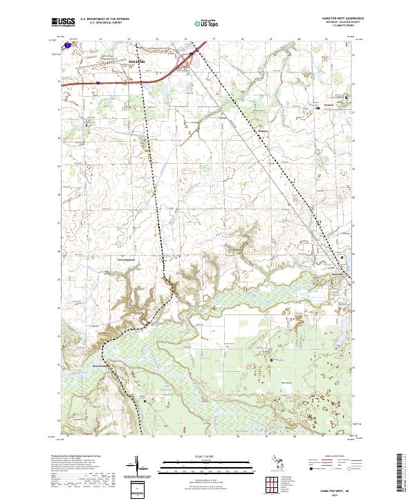
2023 Map of Hamilton West
USGS Topo · Published 2023About this map
The Kalamazoo River and its expansive wetlands define the southern landscape of this Allegan County region, where the Ottawa Marsh and riverine features like Big Dailey Bayou meet the Pine Plains. This area is characterized by a dense network of small agricultural settlements and historically significant burial sites, including the Overisel Settlers Cem and Manlius Cem. North of the river, the landscape transitions into the outskirts of Holland, marked by the West Michigan Regional Airport and major transportation corridors. The rural character is preserved in the drainage patterns of the Rabbit River and South Branch Macatawa River, which are supplemented by local engineering like the Kleinheksel Drain. The positioning of New Richmond at a bend in the Kalamazoo River highlights the historical importance of waterway access in this part of Michigan.
Find a feature on this map
64 named features on this map. Tap any name to fly to it.
Don’t see what you’re looking for? This feature index may not catch every label — zoom into the map to look around manually.
Map Details
Editions of this 2023 Hamilton West Map
This is the sole edition of this map. No revisions or reprints were ever made.
Other maps of this area

1928 · Fennville
USGS Topo · 1:62,500

1929 · Holland
USGS Topo · 1:62,500

1931 · Fennville
USGS Topo · 1:62,500

1932 · Holland
USGS Topo · 1:62,500

1958 · Allegan
USGS Topo · 1:62,500

1958 · Grandville
USGS Topo · 1:62,500

1958 · Racine
USGS Topo · 1:250,000

1958 · Grand Rapids
USGS Topo · 1:250,000

1961 · Grand Rapids
USGS Topo · 1:250,000

1962 · Grand Rapids
USGS Topo · 1:250,000