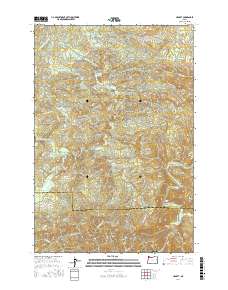
2017 Map of Hamlet
USGS Topo · Published 2017About this map
The Hamlet settlement sits at the center of this coastal mountain landscape, where the North Fork Nehalem River and Little North Fork Nehalem River converge. This area of the Northern Oregon Coast Range is defined by a complex network of ridges, including Cole Mtn, Cougar Mountain, and Rector Ridge, providing a look at the timber and resource-based geography near the Clatsop and Tillamook county line.
Find a feature on this map
55 named features on this map. Tap any name to fly to it.
Don’t see what you’re looking for? This feature index may not catch every label — zoom into the map to look around manually.
Map Details
Editions of this 2017 Hamlet Map
This is the sole edition of this map. No revisions or reprints were ever made.
Other maps of this area

1937 · Nehalem
USGS Topo · 1:62,500

1937 · Enright
USGS Topo · 1:62,500

1939 · Saddle Mountain
USGS Topo · 1:62,500

1940 · Cape Falcon
USGS Topo · 1:62,500

1941 · Enright
USGS Topo · 1:62,500

1943 · Nehalem
USGS Topo · 1:62,500

1943 · Saddle Mtn.
USGS Topo · 1:62,500

1948 · Vancouver
USGS Topo · 1:250,000

1950 · Vancouver
USGS Topo · 1:250,000

1950 · Vancouver
USGS Topo · 1:250,000