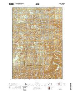
2020 Map of Hamlet
USGS Topo · Published 2020About this map
Hamlet sits at the center of this 2020 topographical study, situated in the forested uplands where the North Fork Nehalem River carves its way through Clatsop County. The landscape is defined by its complex hydrology and timber-related infrastructure, featuring significant elevations such as Cole Mtn and Rector Ridge. Toward the southeast, the terrain descends into Gods Valley, where Gods Valley Cr flows through a distinct lowland pocket before the terrain rises again toward Four Seven Ridge.
Find a feature on this map
60 named features on this map. Tap any name to fly to it.
Don’t see what you’re looking for? This feature index may not catch every label — zoom into the map to look around manually.
Map Details
Editions of this 2020 Hamlet Map
This is the sole edition of this map. No revisions or reprints were ever made.
Other maps of this area

1937 · Nehalem
USGS Topo · 1:62,500

1937 · Enright
USGS Topo · 1:62,500

1939 · Saddle Mountain
USGS Topo · 1:62,500

1940 · Cape Falcon
USGS Topo · 1:62,500

1941 · Enright
USGS Topo · 1:62,500

1943 · Nehalem
USGS Topo · 1:62,500

1943 · Saddle Mtn.
USGS Topo · 1:62,500

1948 · Vancouver
USGS Topo · 1:250,000

1950 · Vancouver
USGS Topo · 1:250,000

1950 · Vancouver
USGS Topo · 1:250,000