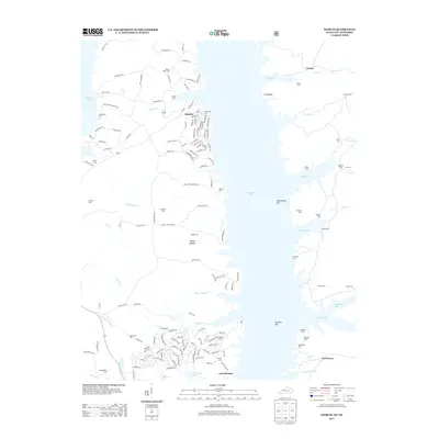
2013 Map of Hamlin
USGS Topo · Published 2013About this map
Kentucky Lake dominates this landscape along the border of Kentucky and Tennessee, where the submerged history of the Tennessee River valley is marked by numerous family and community burial grounds. Near the southern edge of the sheet, the site of Fort Heiman overlooks the water, positioned across from the drainage of Fort Henry Br. This area is characterized by a dense concentration of cemeteries that survived the flooding of the valley, including Winchester Cem, Stilley Cem, and McCuiston Cem.
Find a feature on this map
162 named features on this map. Tap any name to fly to it.
Don’t see what you’re looking for? This feature index may not catch every label — zoom into the map to look around manually.
Map Details
Editions of this 2013 Hamlin Map
This is the sole edition of this map. No revisions or reprints were ever made.
Other maps of this area

1936 · Buchanan
USGS Topo · 1:24,000

1936 · Tharpe
USGS Topo · 1:24,000

1936 · New Concord
USGS Topo · 1:24,000

1936 · Hamlin
USGS Topo · 1:24,000

1936 · Centerville Landing
USGS Topo · 1:24,000

1936 · Rushing
USGS Topo · 1:24,000

1936 · Standing Rock
USGS Topo · 1:24,000

1936 · Hico
USGS Topo · 1:24,000

1942 · New Concord
USGS Topo · 1:24,000

1942 · Hico
USGS Topo · 1:24,000