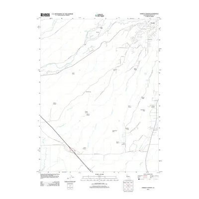
2012 Map of Hamlin Canyon
USGS Topo · Published 2012About this map
Paradise and its residential outskirts anchor the northeastern corner of this 2012 survey, where the Skyway and Honey Run Rd descend from the ridge towards the valley floor. This transition zone is defined by a complex network of named canyons and ridges, including the deep cuts of Hamlin Canyon and Nance Canyon. The geography reflects the intersection of natural landmarks like Castle Rock and Flatiron with historical human imprints, most notably the Elliot Spring House.
Find a feature on this map
71 named features on this map. Tap any name to fly to it.
Don’t see what you’re looking for? This feature index may not catch every label — zoom into the map to look around manually.
Map Details
Editions of this 2012 Hamlin Canyon Map
This is the sole edition of this map. No revisions or reprints were ever made.
Other maps of this area

1891 · Chico
USGS Topo · 1:125,000

1893 · Chico
USGS Topo · 1:125,000

1895 · Chico
USGS Topo · 1:125,000

1912 · Dry Creek
USGS Topo · 1:31,680

1912 · Durham
USGS Topo · 1:31,680

1912 · Oroville
USGS Topo · 1:31,680

1912 · Nelson
USGS Topo · 1:31,680

1912 · Keefers
USGS Topo · 1:31,680

1912 · Clear Creek
USGS Topo · 1:31,680

1942 · Oroville
USGS Topo · 1:62,500