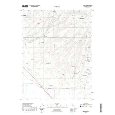
2018 Map of Hamlin Canyon
USGS Topo · Published 2018About this map
Butte Creek Canyon and the surrounding volcanic ridges define the landscape between Chico and Paradise in this 2018 survey. The terrain is a complex network of deep ravines and narrow divides, characterized by notable landmarks like Robbers Roost, Castle Rock, and Steamboat Rock. To the south, the land transitions from the steep grades of Clements Ridge and Perkins Ridge toward the more level ground of Butte Valley. The map shows a clear division between the dense residential street grid of Paradise in the northeast and the sprawling campus of Butte College near W Br Clear Cr. Water sources such as Deadman Spring and White Spring are scattered across the higher elevations, while Hamlin Slough and Little Dry Cr drain the lower canyons toward the valley floor.
Find a feature on this map
107 named features on this map. Tap any name to fly to it.
Don’t see what you’re looking for? This feature index may not catch every label — zoom into the map to look around manually.
Map Details
Editions of this 2018 Hamlin Canyon Map
This is the sole edition of this map. No revisions or reprints were ever made.
Other maps of this area

1891 · Chico
USGS Topo · 1:125,000

1893 · Chico
USGS Topo · 1:125,000

1895 · Chico
USGS Topo · 1:125,000

1912 · Dry Creek
USGS Topo · 1:31,680

1912 · Durham
USGS Topo · 1:31,680

1912 · Oroville
USGS Topo · 1:31,680

1912 · Nelson
USGS Topo · 1:31,680

1912 · Keefers
USGS Topo · 1:31,680

1912 · Clear Creek
USGS Topo · 1:31,680

1942 · Oroville
USGS Topo · 1:62,500