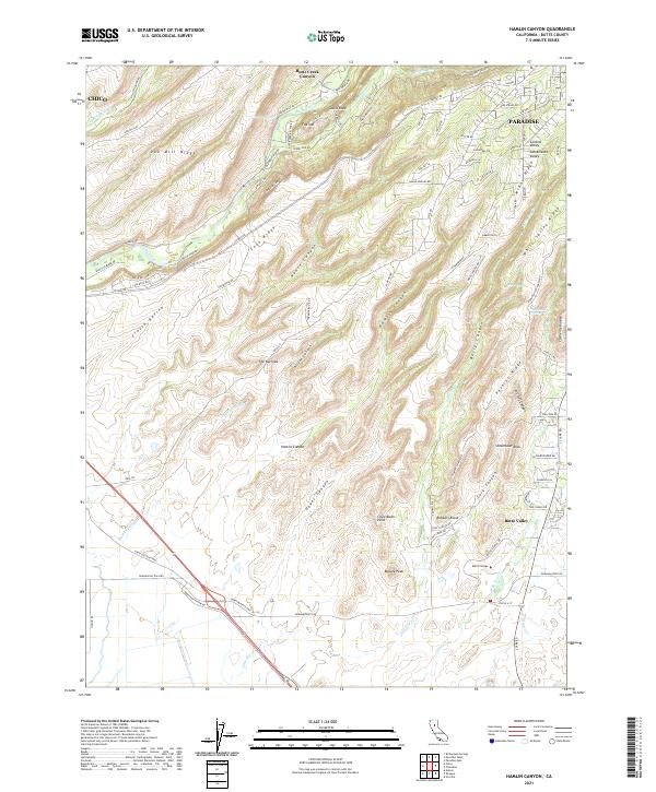
2021 Map of Hamlin Canyon
USGS Topo · Published 2021About this map
Butte Creek carves a deep path through the canyonlands of Butte County, separating prominent landforms like Doe Mill Ridge and Coon Ridge. This landscape is defined by its dramatic verticality, where ancient geological features such as Castle Rock, Steamboat Rock, and The Narrows rise above the complex network of ravines and canyons. The transition from the high ridges of the Sierra Nevada foothills down toward the Sacramento Valley floor is evident as the terrain softens near Butte Valley.
Find a feature on this map
103 named features on this map. Tap any name to fly to it.
Don’t see what you’re looking for? This feature index may not catch every label — zoom into the map to look around manually.
Map Details
Editions of this 2021 Hamlin Canyon Map
This is the sole edition of this map. No revisions or reprints were ever made.
Other maps of this area

1891 · Chico
USGS Topo · 1:125,000

1893 · Chico
USGS Topo · 1:125,000

1895 · Chico
USGS Topo · 1:125,000

1912 · Dry Creek
USGS Topo · 1:31,680

1912 · Durham
USGS Topo · 1:31,680

1912 · Oroville
USGS Topo · 1:31,680

1912 · Nelson
USGS Topo · 1:31,680

1912 · Keefers
USGS Topo · 1:31,680

1912 · Clear Creek
USGS Topo · 1:31,680

1942 · Oroville
USGS Topo · 1:62,500