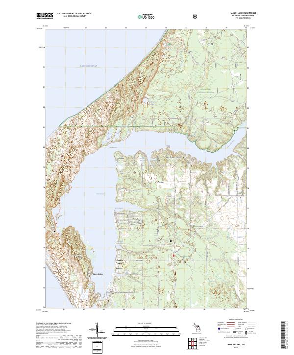
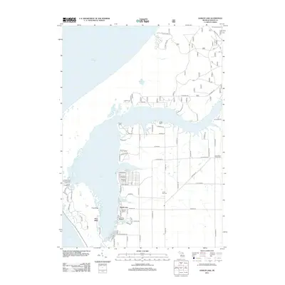
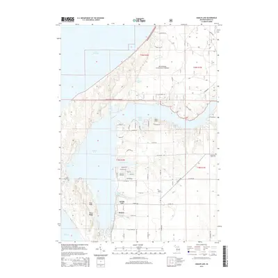
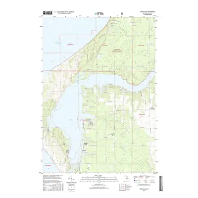
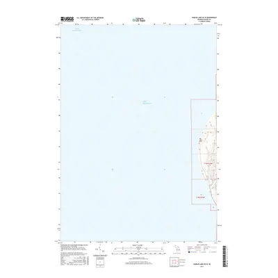
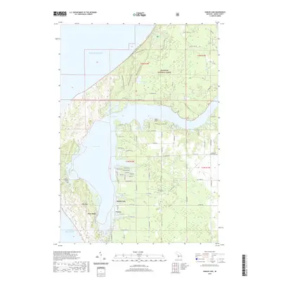
2023 Map of Hamlin Lake
USGS Topo · Published 2023About this map
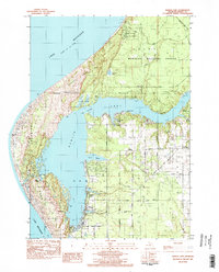
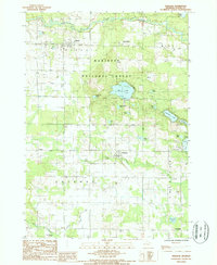
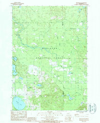
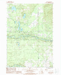
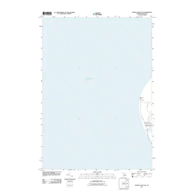
Hamlin Lake dominates this coastal landscape, separated from the vast expanse of Lake Michigan by a complex system of dunes and ridges. Along its winding western shore, the community of Hamlin Village and the resort character of Piney Ridge sit nestled among the trees. The lake itself is defined by its irregular fingers, including North Bayou, Middle Bayou, and South Bayou, which provide sheltered waters behind the lake's primary basin. To the north, the protected Nordhouse Dunes Wilderness preserves a pristine stretch of shoreline, while the Manistee National Forest covers much of the inland territory.
Find a feature on this map
70 named features on this map. Tap any name to fly to it.
Don’t see what you’re looking for? This feature index may not catch every label — zoom into the map to look around manually.
Map Details
Editions of this 2023 Hamlin Lake Map
This is the sole edition of this map. No revisions or reprints were ever made.
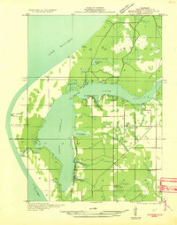
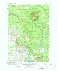
Historical Maps of Victory Township Through Time
46 maps found

1931 Custer NE
Mason County, MI

1931 Custer NW
Mason County, MI

1931 Freesoil SW
Mason County, MI

1931 Manistee SE
Mason County, MI
1931 Manistee SW
Mason County, MI

1932 Freesoil SE
Mason County, MI

1932 Ludington NE
Mason County, MI
1957 Freesoil
Mason County, MI
1976 Custer NE
Mason County, MI
1976 Custer NW
Mason County, MI
1982 Hamlin Lake
Mason County, MI
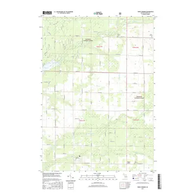
1982 Kings Corners
Mason County, MI
1982 Manistee NW
Mason County, MI
1987 Freesoil
Mason County, MI
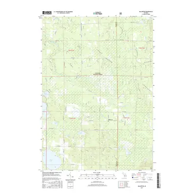
1987 Millerton
Mason County, MI
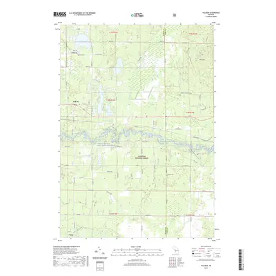
1987 Tallman
Mason County, MI
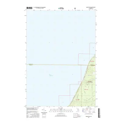
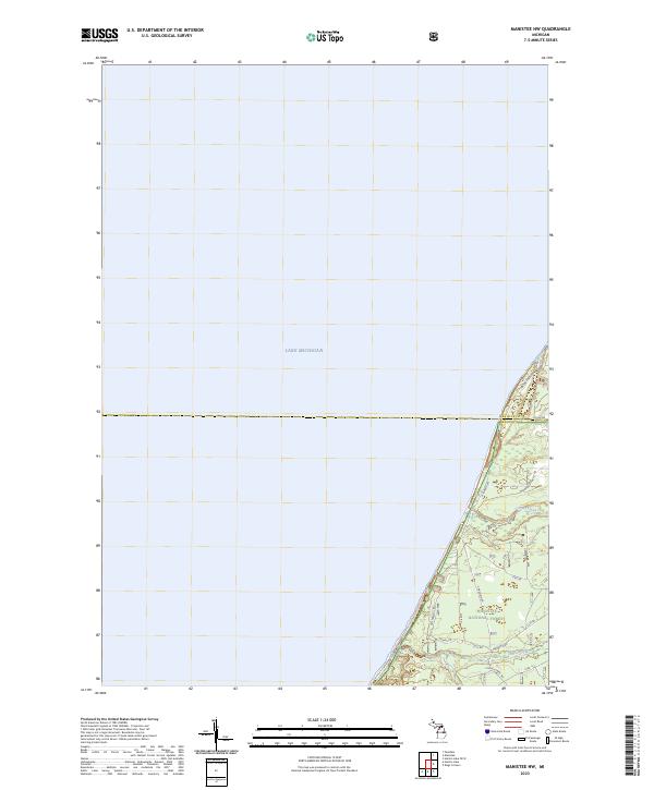
2011 Hamlin Lake OE W
Mason County, MI
2012 Hamlin Lake
Mason County, MI
2012 Kings Corners
Mason County, MI
2012 Manistee NW
Mason County, MI
2012 Millerton
Mason County, MI
2012 Tallman
Mason County, MI
2014 Hamlin Lake
Mason County, MI
2014 Hamlin Lake OE W
Mason County, MI
2014 Kings Corners
Mason County, MI
2014 Manistee NW
Mason County, MI
2014 Millerton
Mason County, MI
2014 Tallman
Mason County, MI
2017 Hamlin Lake
Mason County, MI
2017 Hamlin Lake OE W
Mason County, MI
2017 Kings Corners
Mason County, MI
2017 Manistee NW
Mason County, MI
2017 Millerton
Mason County, MI
2017 Tallman
Mason County, MI
2019 Hamlin Lake
Mason County, MI
2019 Hamlin Lake OE W
Mason County, MI
2019 Kings Corners
Mason County, MI
2019 Manistee NW
Mason County, MI
2019 Millerton
Mason County, MI
2019 Tallman
Mason County, MI
2023 Hamlin Lake
Mason County, MI
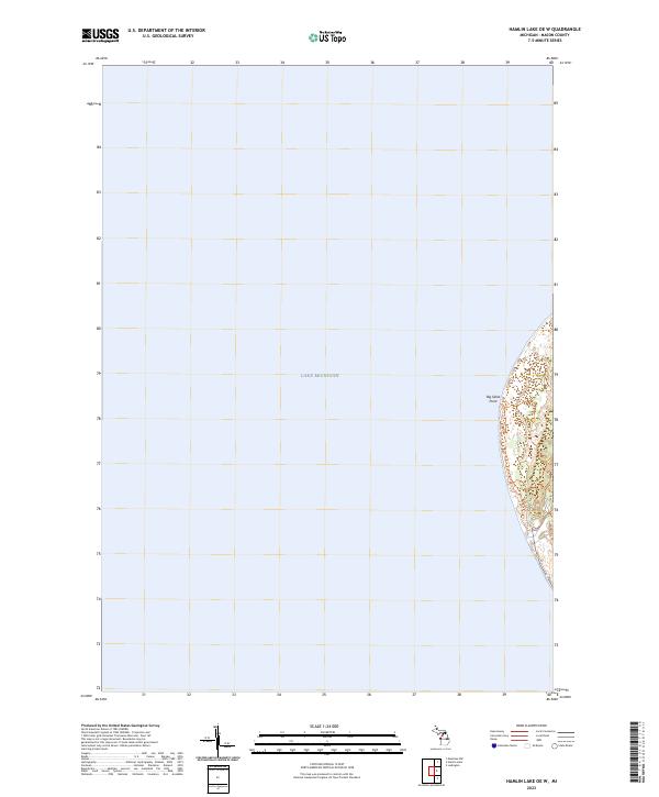
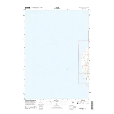
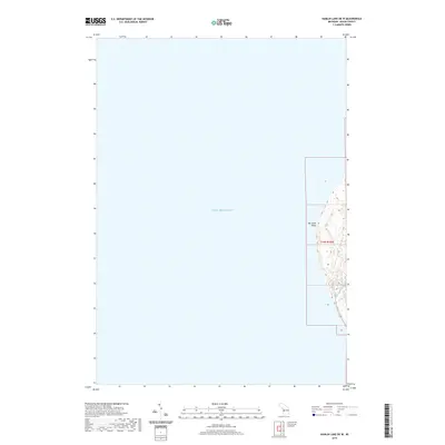
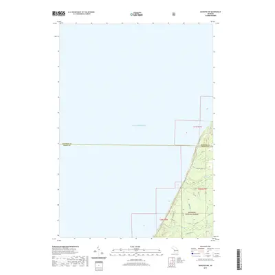
2023 Hamlin Lake OE W
Mason County, MI
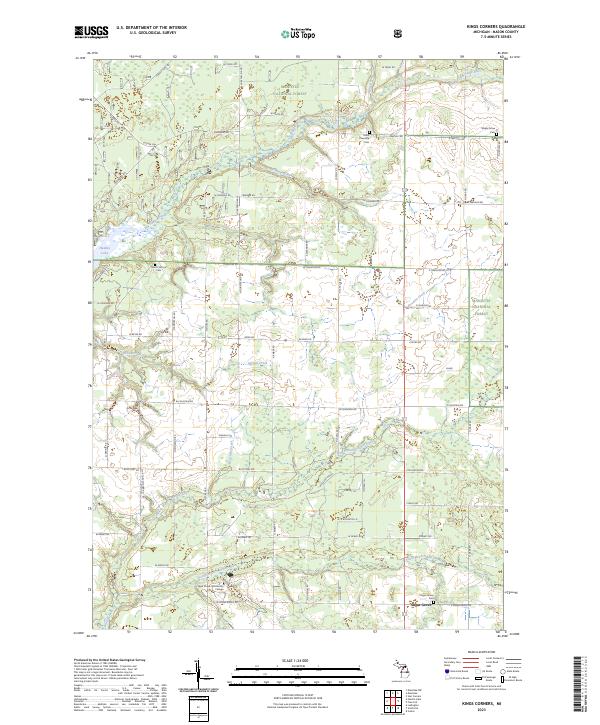
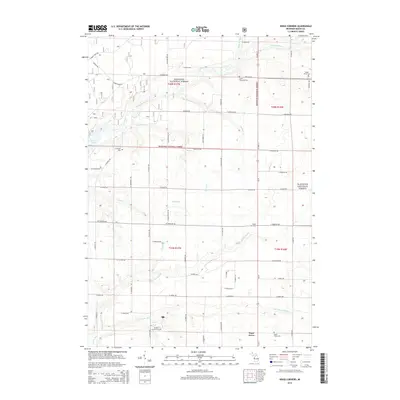
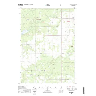
2023 Kings Corners
Mason County, MI
2023 Manistee NW
Mason County, MI
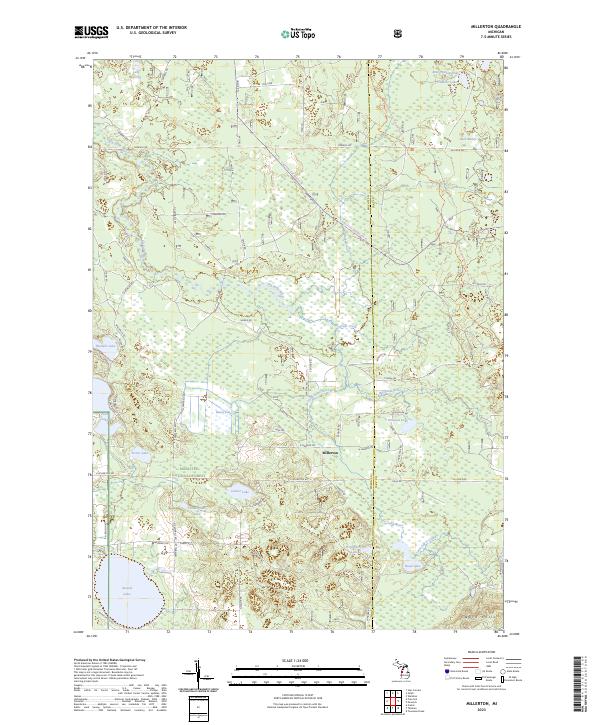
2023 Millerton
Mason County, MI
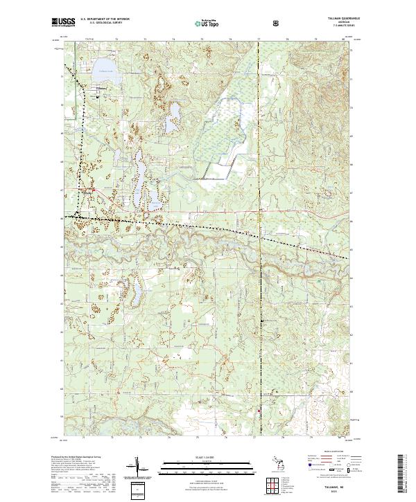
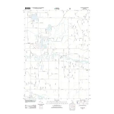
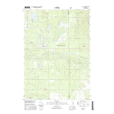
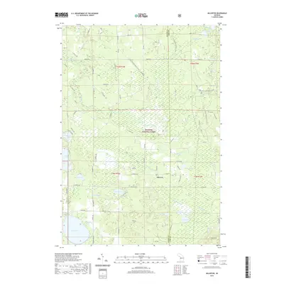
2023 Tallman
Mason County, MI
Featured Locations
- Victory Township, MI
- Grant Township, MI
- Hamlin Township, MI
- Hamlin Lake, Hamlin Township
- Weimer, Hamlin Township