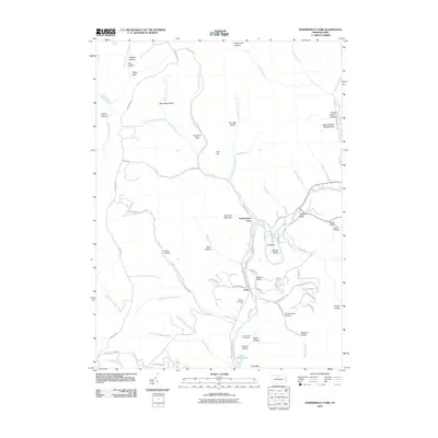
2010 Map of Hammersley Fork
USGS Topo · Published 2010About this map
The settlement of Hammersley Fork and the village of Leidy are the primary focal points of this northern Pennsylvania survey. Situated along the winding course of Kettle Creek, the landscape is defined by its deep drainages and named ridges, including Trout Run Mountain and The Bunk. The map reveals a high density of named hollows, such as Beer Keg Hollow, Wheeler Hollow, and Summerson Hollow, which often bear the names of early resident families. For genealogists, the location of the McCoy Cemetery and Summerson Cemetery provides precise coordinates for local family history research. In the southeast, Kettle Creek Lake marks a significant hydrological feature, while the Beech Bottom Natural Area preserves a stretch of the namesake waterway near the Clinton and Potter county border. The drainage network is particularly intricate here, with numerous named branches like John Summerson Branch and Nelson Branch feeding into the main valley.
Find a feature on this map
82 named features on this map. Tap any name to fly to it.
Don’t see what you’re looking for? This feature index may not catch every label — zoom into the map to look around manually.
Map Details
Editions of this 2010 Hammersley Fork Map
This is the sole edition of this map. No revisions or reprints were ever made.
Other maps of this area

1945 · Driftwood
USGS Topo · 1:48,000

1945 · First Fork
USGS Topo · 1:24,000

1945 · Sinnemahoning
USGS Topo · 1:24,000

1946 · Renovo West
USGS Topo · 1:62,500

1946 · Hammersley Fork
USGS Topo · 1:24,000

1946 · Keating
USGS Topo · 1:24,000

1946 · Tamarack
USGS Topo · 1:24,000

1946 · Renovo West
USGS Topo · 1:24,000

1947 · First Fork
USGS Topo · 1:24,000

1947 · Sinnemahoning
USGS Topo · 1:24,000
Featured Places
- Leidy Township, PA
- Wharton Township, PA
- East Keating Township, PA
- Grove Township, PA
- Hammersley Fork, Leidy Township