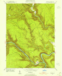
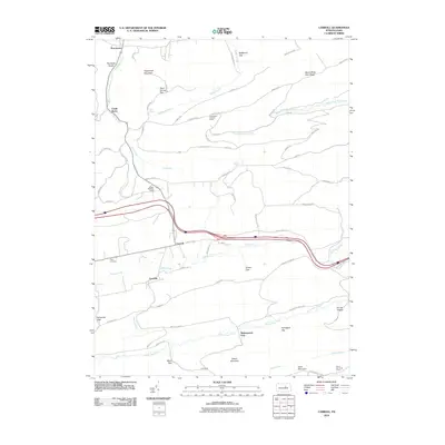
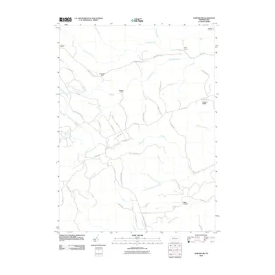
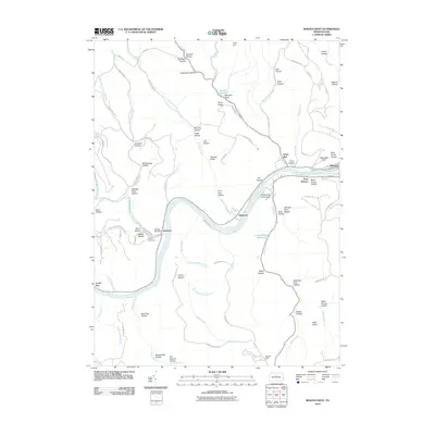
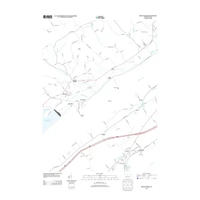
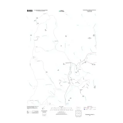
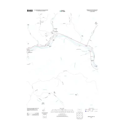
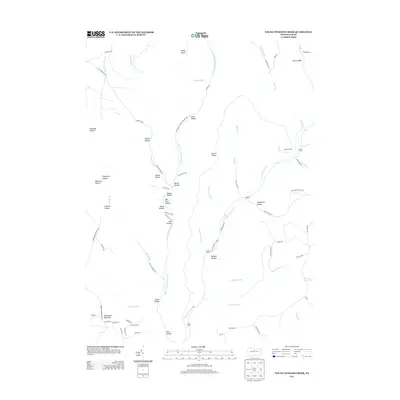
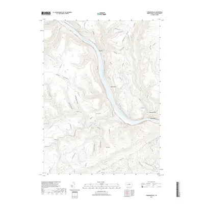
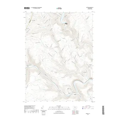
1946 Map of Keating
USGS Topo · Published 1954About this map
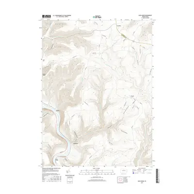
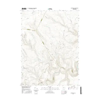
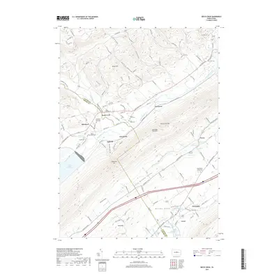
The confluence of the Sinnemahoning Creek and the West Branch Susquehanna River anchor this mid-century mapping of Clinton County. This area is defined by the steep-walled valleys of the Allegheny Plateau, where the settlement of Keating sits at the vital junction of river and rail. The New York Central railroad follows the winding riverbanks, providing a lifeline through the narrow hollows of Savage Mountain and Bushley Ridge. To the east, the community of Bitumen reflects the region's industrial ties, likely connected to the numerous branches and drafts like Huling Branch and Lick Run that cut through the high ridges. This map documents a landscape where transportation was strictly dictated by the deep incisions of Kettle Creek and its many tributaries, such as Cooks Run and Bee Tree Draft, before the expansion of modern highway networks.
Find a feature on this map
57 named features on this map. Tap any name to fly to it.
Don’t see what you’re looking for? This feature index may not catch every label — zoom into the map to look around manually.
Map Details
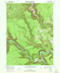
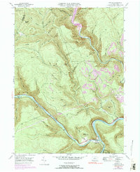
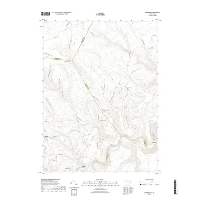
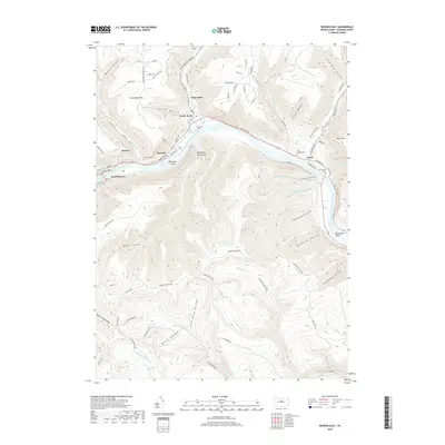
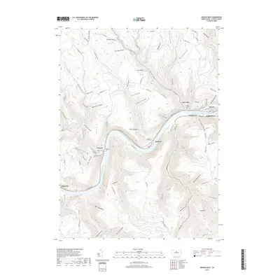
Editions of this 1946 Keating Map
4 editions found
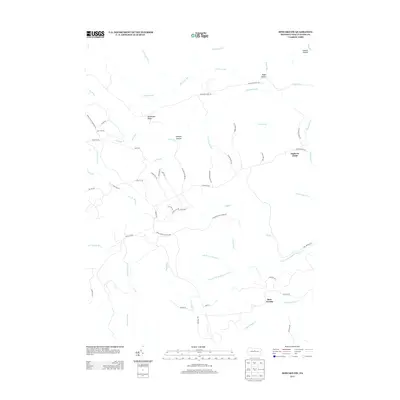
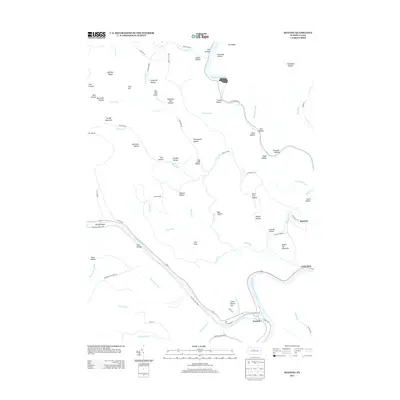
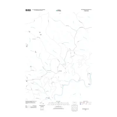
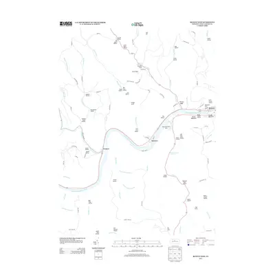
Historical Maps of Leidy Township Through Time
95 maps found

1921 Howard
Clinton County, PA

1923 Howard
Clinton County, PA

1943 Hyner
Clinton County, PA

1946 Glen Union
Clinton County, PA

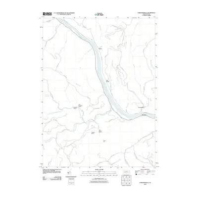
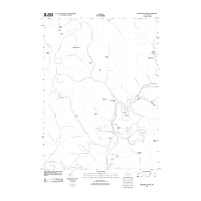
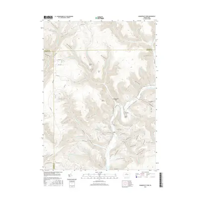
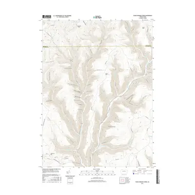
1946 Hammersley Fork
Clinton County, PA

1946 Keating
Clinton County, PA

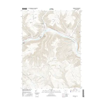
1946 Renovo East
Clinton County, PA

1946 Renovo East
Clinton County, PA

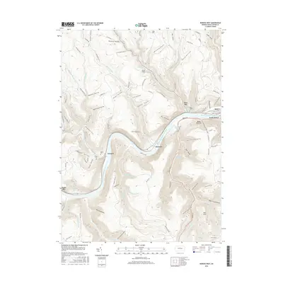
1946 Renovo West
Clinton County, PA

1946 Renovo West
Clinton County, PA

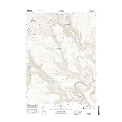
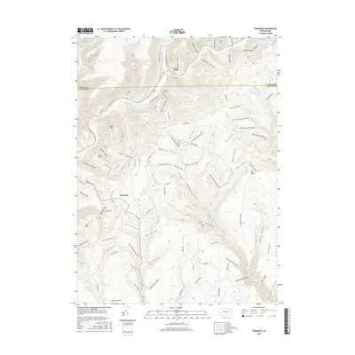
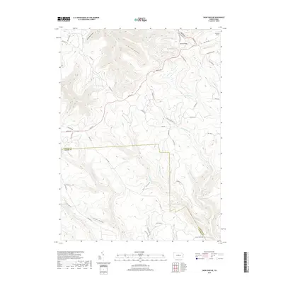
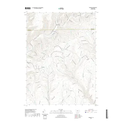
1946 Tamarack
Clinton County, PA

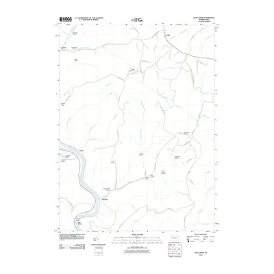
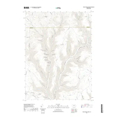
1946 Young Womans Creek
Clinton County, PA

1948 Glen Union
Clinton County, PA

1948 Hammersley Fork
Clinton County, PA

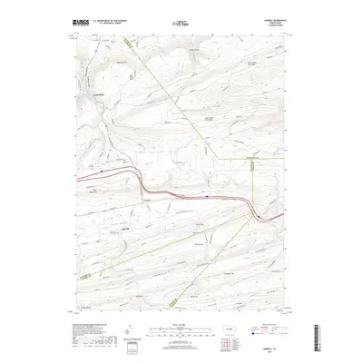
1948 Keating
Clinton County, PA

1948 Renovo East
Clinton County, PA

1948 Tamarack
Clinton County, PA

1949 Renovo West
Clinton County, PA

1949 Young Womans Creek
Clinton County, PA

1959 Pottersdale
Clinton County, PA

1960 Snow Shoe NE
Clinton County, PA

1965 Carroll
Clinton County, PA

1966 Farrandsville
Clinton County, PA

1967 Beech Creek
Clinton County, PA

1967 Howard NW
Clinton County, PA

1977 Beech Creek
Clinton County, PA

1984 Williamsport West
Clinton County, PA

1994 Hammersley Fork
Clinton County, PA

1994 Tamarack
Clinton County, PA

1994 Young Womans Creek
Clinton County, PA
2010 Beech Creek
Clinton County, PA
2010 Carroll
Clinton County, PA
2010 Farrandsville
Clinton County, PA
2010 Glen Union
Clinton County, PA
2010 Hammersley Fork
Clinton County, PA
2010 Howard NW
Clinton County, PA
2010 Keating
Clinton County, PA
2010 Pottersdale
Clinton County, PA
2010 Renovo East
Clinton County, PA
2010 Renovo West
Clinton County, PA
2010 Snow Shoe NE
Clinton County, PA
2010 Tamarack
Clinton County, PA
2010 Young Womans Creek
Clinton County, PA
2013 Beech Creek
Clinton County, PA
2013 Carroll
Clinton County, PA
2013 Farrandsville
Clinton County, PA
2013 Glen Union
Clinton County, PA
2013 Hammersley Fork
Clinton County, PA
2013 Howard NW
Clinton County, PA
2013 Keating
Clinton County, PA
2013 Pottersdale
Clinton County, PA
2013 Renovo East
Clinton County, PA
2013 Renovo West
Clinton County, PA
2013 Snow Shoe NE
Clinton County, PA
2013 Tamarack
Clinton County, PA
2013 Young Womans Creek
Clinton County, PA
2016 Beech Creek
Clinton County, PA
2016 Carroll
Clinton County, PA
2016 Farrandsville
Clinton County, PA
2016 Glen Union
Clinton County, PA
2016 Hammersley Fork
Clinton County, PA
2016 Howard NW
Clinton County, PA
2016 Keating
Clinton County, PA
2016 Pottersdale
Clinton County, PA
2016 Renovo East
Clinton County, PA
2016 Renovo West
Clinton County, PA
2016 Snow Shoe NE
Clinton County, PA
2016 Tamarack
Clinton County, PA
2016 Young Womans Creek
Clinton County, PA
2019 Beech Creek
Clinton County, PA
2019 Carroll
Clinton County, PA
2019 Farrandsville
Clinton County, PA
2019 Glen Union
Clinton County, PA
2019 Hammersley Fork
Clinton County, PA
2019 Howard NW
Clinton County, PA
2019 Keating
Clinton County, PA
2019 Pottersdale
Clinton County, PA
2019 Renovo East
Clinton County, PA
2019 Renovo West
Clinton County, PA
2019 Snow Shoe NE
Clinton County, PA
2019 Tamarack
Clinton County, PA
2019 Young Womans Creek
Clinton County, PA

2023 Beech Creek
Clinton County, PA

2023 Carroll
Clinton County, PA

2023 Farrandsville
Clinton County, PA

2023 Glen Union
Clinton County, PA

2023 Hammersley Fork
Clinton County, PA

2023 Howard NW
Clinton County, PA

2023 Keating
Clinton County, PA

2023 Pottersdale
Clinton County, PA

2023 Renovo East
Clinton County, PA

2023 Renovo West
Clinton County, PA

2023 Snow Shoe NE
Clinton County, PA

2023 Tamarack
Clinton County, PA

2023 Young Womans Creek
Clinton County, PA
Featured Locations
- Burnside Township, PA
- East Keating Township, PA
- Leidy Township, PA
- Beech Creek Township, PA
- Bitumen, Noyes Township