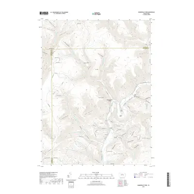
2019 Map of Hammersley Fork
USGS Topo · Published 2019About this map
Kettle Creek winds through a landscape of deep hollows and high points at the border of Clinton, Potter, and Cameron Counties. The small settlements of Hammersley Fork and Leidy serve as focal points for the surrounding drainage basins, including Trout Run and Beaverdam Run. This modern topographic study reveals the persistent local importance of family and community landmarks in this sparsely populated area, notably the cluster of burial sites such as McCoy Cem, Summerson Cem, and New Maple Grove Cem. The map's contouring highlights striking landforms like Oxbow Bend and the sharp rise of Trout Run Mtn, while many minor drainages like Beer Keg Hollow and Poges Hole reflect the colorful vernacular naming of the region's early settlers and woodsmen. This geography is defined by narrow valley corridors and a complex network of forest roads such as Montour Rd.
Find a feature on this map
100 named features on this map. Tap any name to fly to it.
Don’t see what you’re looking for? This feature index may not catch every label — zoom into the map to look around manually.
Map Details
Editions of this 2019 Hammersley Fork Map
This is the sole edition of this map. No revisions or reprints were ever made.
Other maps of this area

1945 · Driftwood
USGS Topo · 1:48,000

1945 · First Fork
USGS Topo · 1:24,000

1945 · Sinnemahoning
USGS Topo · 1:24,000

1946 · Renovo West
USGS Topo · 1:62,500

1946 · Hammersley Fork
USGS Topo · 1:24,000

1946 · Keating
USGS Topo · 1:24,000

1946 · Tamarack
USGS Topo · 1:24,000

1946 · Renovo West
USGS Topo · 1:24,000

1947 · First Fork
USGS Topo · 1:24,000

1947 · Sinnemahoning
USGS Topo · 1:24,000
Featured Places
- Leidy Township, PA
- Wharton Township, PA
- East Keating Township, PA
- Grove Township, PA
- Hammersley Fork, Leidy Township